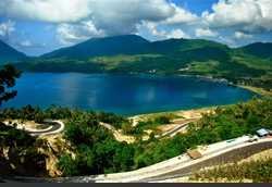
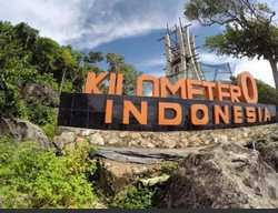
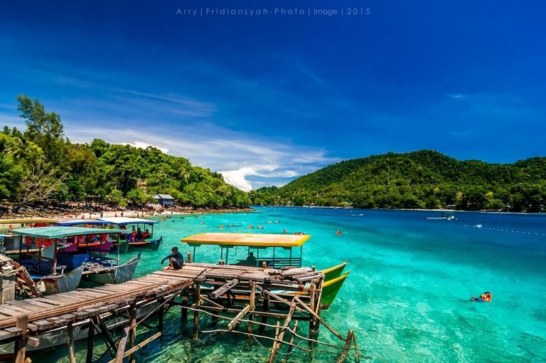
Sabang City is one of the cities in Aceh, Indonesia. The city is an archipelago on the north side of the island of Sumatra, with Pulau Weh as the largest island. Sabang City is an Indonesian free economic zone, it is often referred to as the northernmost point of Indonesia, precisely on Rondo Island.
[url=https://www.uploadhouse.com/viewfile.php?id=25752151&showlnk=0][img] [/img][/url]
From the geographical point of Indonesia, the area of Sabang City lies at 95 ° 13'02 "-95 ° 22'36" BT, and 05 ° 46'28 "-05 ° 54'-28" LU, is the northernmost administrative region, and abuts directly with neighboring countries namely Malaysia, Thailand, and India.
The area of Sabang City is surrounded by the Malacca Straits in the North, the Indian Ocean in the South, the Malacca Straits in the East and the Indian Ocean in the West.
[url=https://www.uploadhouse.com/viewfile.php?id=25752157&showlnk=0][img] [/img][/url]
Sabang Island is also known as weh island
On Pulau Weh there is a freshwater lake named Lake Aneuk Laot.
Pulau Weh is a volcanic island, an atoll island (coral island) that the process of occurrence of experiencing lifting from the sea surface. The process of occurrence in three stages, evident from the existence of three terraces located at different altitudes.
Generally Weh Island consists of two types of rock, namely tuff marina and core rock. Tuf marina is found almost along the coast until the height of 40 to 50 meters. The widest tufts are found around the town of Sabang, on a narrow-lined beach. Narrow rock is andesitic volcanic rock.
Based on the region, it appears that the western region of Pulau Weh has the most severe topography. Starting from Sarong Kris as the highest peak in the East, there are three rows of backs that flows toward the Northwest, so the valleys that are between the backs are narrow.

quite so much the introduction of Sabang Island located at km 0 Indonesia