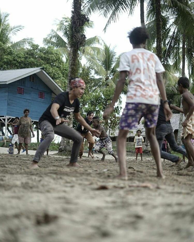
city nabire is one of the city district in Papua Indonesia located in the back of new Guinea. with the area of 15.357,55 km2, and is located between 134,35 East - 136,37 and 2,25 latitude - 4,15 latitude, nabire directly adjacent to the area of the region as follows: North: district yapen and the district waropen East: district paniai and the district waropen South: district kaimana and the district mimika West: district Gulf wondama and the district kaimana nabire have topography flat estimated 47% of the area located spread to the district yaur, wanggar and napan. while the hilly area is expected to 53% spread on the districts sukikai, uwapa, mapia, moenemani and pledge. statistics population, the number of residents of the district nabire appropriate data from the Department of population and civil registration district nabire in 2012 (data while) as much as 196.487 soul consists of men 106.427 soul and women 90.060 soul with the establishment of the district dogiyai, the district in the district nabire divided as follows: district nabire district makimi district nabire Western district Gulf Kimi district wanggar district uwapa district yaro district napan district siriwo district Gulf Umar district wapoga district yaur district Mora district dipa district menouw "nabire" so now called, is an area of district administration that spread around "neck bird" new Guinea. in the development "nabire" has been exceeded the phases before the inclusion of Dutch government, the days of Dutch government and the days of the government of Indonesia to date. exposure on the history of local government nabire this is not a writing is perfect, so still need to be reviewed and enhanced together so be a matter that can be understood and received by all circles. 1. the origin and meaning nabire prior to review this brief history of the district nabire the first will be delivered description briefly about the origin and meaning nabire from multiple sources / version. description of the story of the origin and meaning nabire this is not for the disputed but is a discourse to discussed together, so it will be unknown origin and meaning nabire actual. a. version of the tribe WATE based on the story of the tribe WATE, that the word "nabire" comes from the word "nawi" anciently connected with nature nabire at the time that there are lots of animals jangkrit, especially along the times nabire. gradually the word "nawi" the changed mention be nawire and finally to "nabire". tribe WATE which consists of five parts that waray, nomei, raiki, tawamoni and waii using one language consists of six village and three district. in 1958, konstein waray who served as the head of the village oyehe submit a / location to the government. breakfast. version of the tribe yerisyam version of the tribe yerisyam nabire derived from the word "navirei" which means the miss or the left. mention navirei emerged as the name of a place at the time of holding party pendamain change the area between the tribe hegure and yerisyam. pronunciation navirei then turned into nabire that are official used to give the name of this area by Regent first that Mr. akbp. Drs. surojotanojo, bachelor of law (ALM). the other versions of this tribe that nabire derived from the NA wyere which means the loss. this sense related to the plague were attacked locals, so much left nabire back to the village and nabire be lonely gradually mention of NA wyere be nabire. C.. version of the tribe hegure version of this tribe that nabire derived from inambre which means coastal covered by the plant species Palm-Palm as tree broom fibers, tree Palm the Forest trees nibun and type of Palm tree other. due to the relationship / communication with the tribes arrivals, gradually mention inambre turned into nabire. D. in conjunction with the implementation of government nabire in relation to the implementation of government and the development of the current is short for words N-comfortable, a-safe, bed-clean, I-beautiful R-friendly, ha-chic containing the meaning that "nabire" (comfortable, safe, clean, beautiful, friendly and beautiful) it is a condition expected and requires the involvement of all walks of life to make it happen. Hey. times before Dutch government to date, because the limitations of the data source / information then what and how the implementation of the government in this phase can not described. 2. the days of Dutch government area Papua already since the 1828 considered as part of the region / land Colonial Netherlands Islands Indonesia, but the power of government Netherlands new really realized in Papua this in 1898 when tweede Kamer (Dutch parliament) passed budget by F. 15.000 (Gulden), to establish the government in the area colonies. Papua at that time of West irian divided into two parts, each controlled by the controller Netherlands, the northern part of called Department Noord nieuw Guinea-based manokwari and controlled regions stretching from jamursba (kaap de your hoop). the West to East end of the Gulf of humbolt, and the Western part is called the West and zuid nieuw Guinea-based fak-fak and controlled regions jamursba to the South, along the East to get to border area British colonies (PNG now).
Sort: Trending