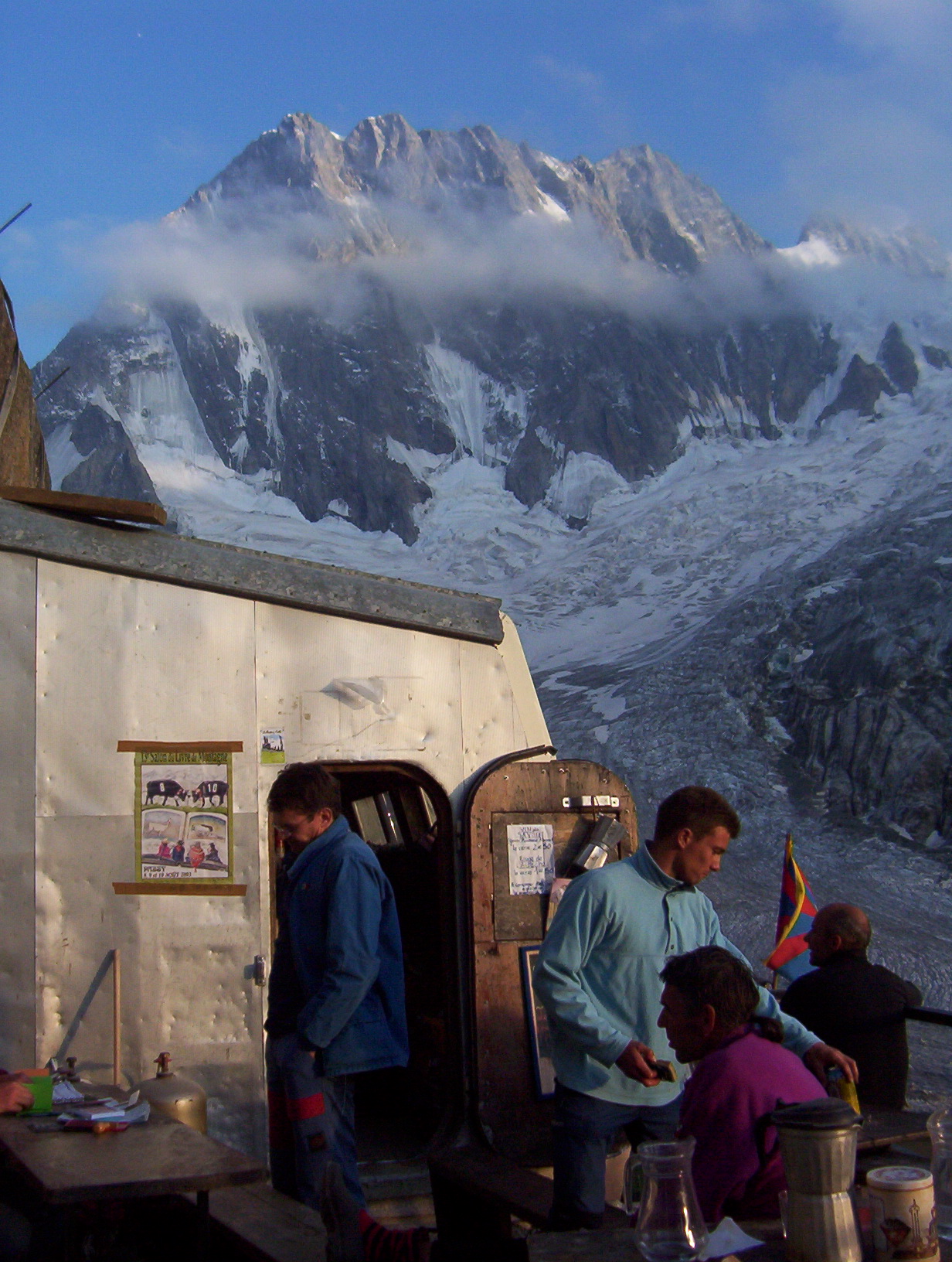
A couple of years have passed since the high mountain hike to the refuge of Leschaux. Back in 2001. Oh yes, already 😊 I was training for the Mont Blanc ascent and this type of glacial hike was the ideal workout. And what a workout: 4 to 5 hours outbound, as much for the return. But the game is well worth it.
Early morning departure
Wake up at 5am. Breakfast. Direction Chamonix. We parked the car close to the Montenvers station, the little train that brings you to the Mer de Glace. After a shrill whistle, the little train goes away, punctuating here and there its regular rhythm by a double eighth note whistle. Soon, it attacks the steep slope which leads it towards the Montenvers. It crosses the viaduct of the Egrats corridor. Suddenly, the majestic needles of the Drus appear. Many passengers exclaim. The landscape gradually becomes more mineral. Then we reach the terminus: the Montenvers, 1913 m. While many tourists stay around the station, hikers and climbers head for the glacier. And here we are at the top of a wall to descend; because the glacier is actually much lower. As soon as in 2001, there was a series of ladders which can be a bit impressive to descend (don't be afraid of heights, there). Today, with the melting of the ice, the access to the glacier must even be a little bit more difficult. Once on the glacier, it's time to get equipped: crampons, ropes, ice axe. It is of course advisable to rope up with your companion. Indeed, if you pass a snow bridge or slip into a crevasse, your companion can hold you back. So don't go alone, otherwise, goodbye!
On the rocks
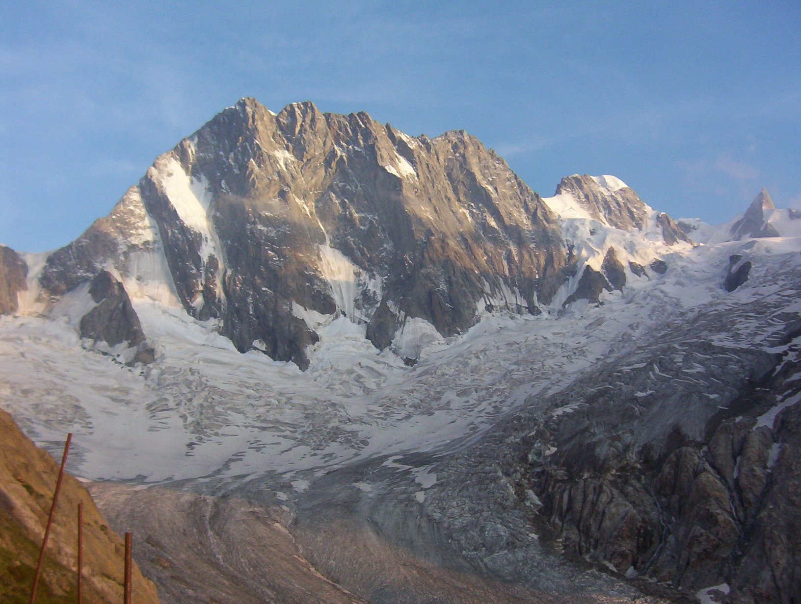
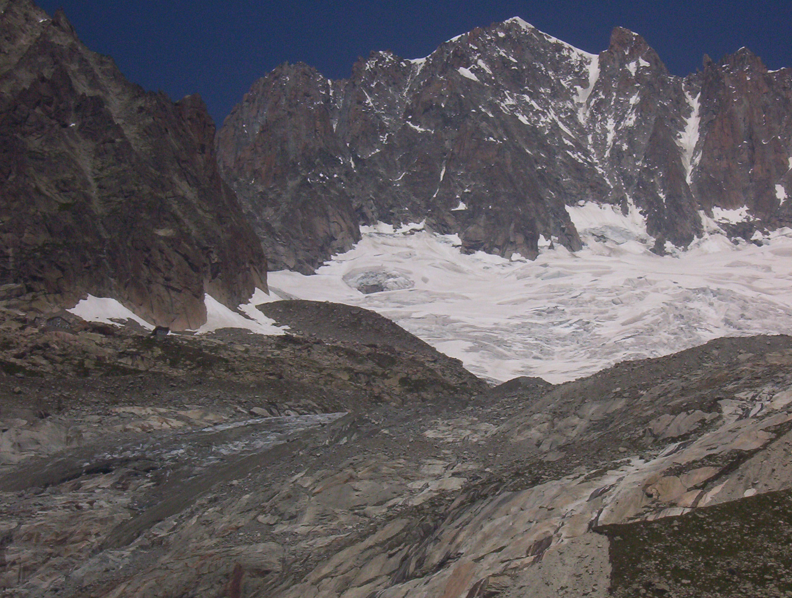
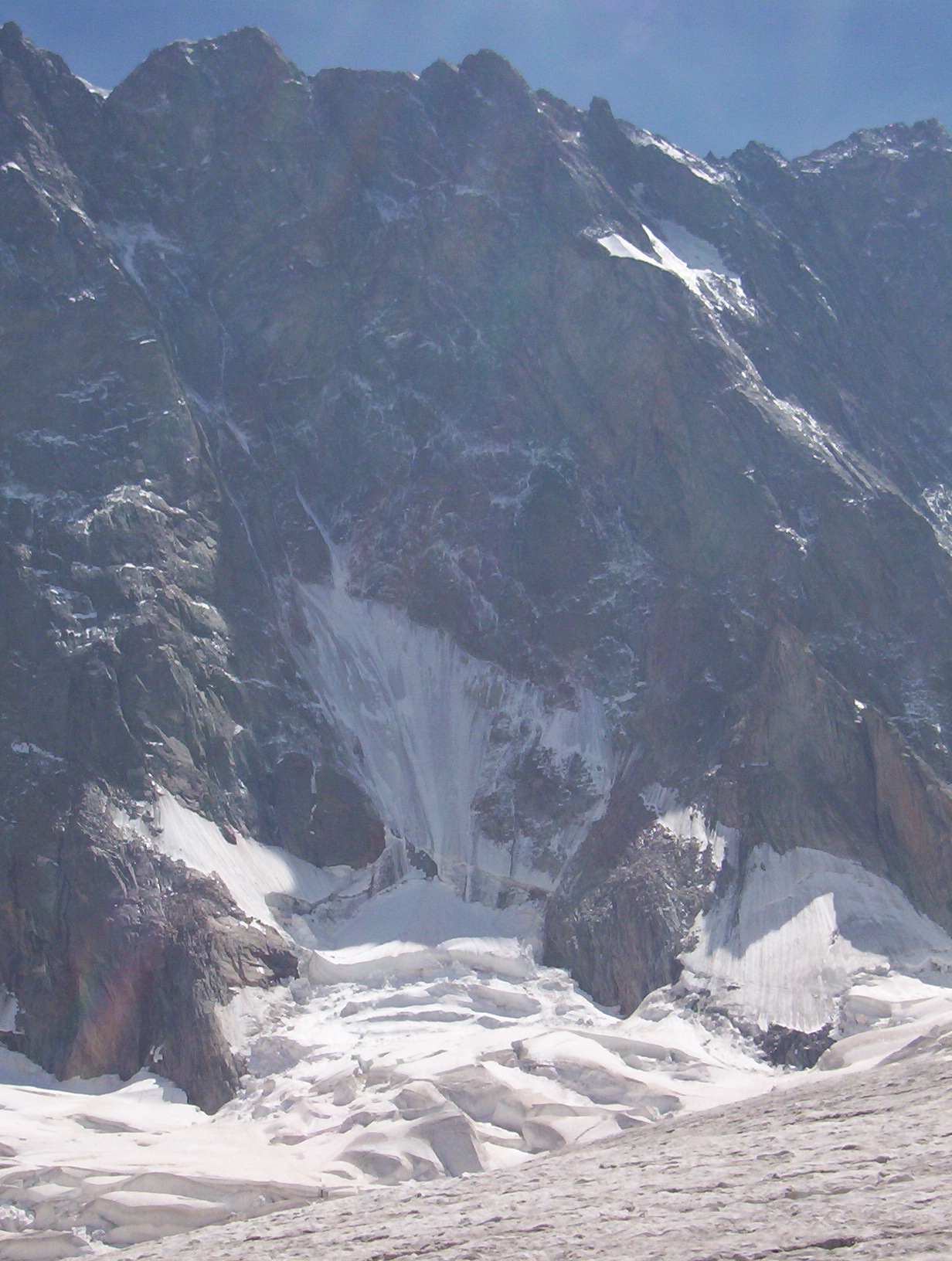
It is still early: 8:15 am. The air is crisp and cold. On each side of the glacier, cyclopean walls rise up; on the left, the majestic Aiguilles des Drus appear; on the right, the jagged edges of the Aiguilles de Charmoz. We cross bedières, streams that are getting bigger and bigger due to the melting of the ice and that sink under the glacier. Sometimes, also, walls of ice that force us to go around them. The glacier separates: on the right, it is the glacier of the Giant. We head to the left, the glacier of Leschaux. We follow the marks on the rocks that indicate the access to the refuge. A few moments later, we arrive at the foot of a wall. And there, another series of ladders are to be found. At the top, a small path winds through an alpine meadow of rhododendrons, bilberry bushes and stunted alders. We are now facing the impressive wall of the Grandes Jorasses, one thousand two hundred meters high. We eventually reach the refuge a short time later.
A forbidden world
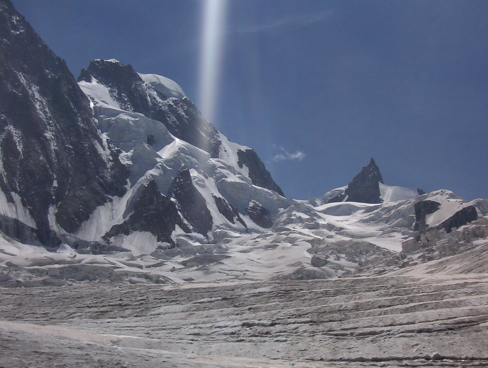
After such a beautiful hike on the glacier, what a pleasure to admire the show that is being offered to us! On the right, the Grandes Jorasses and their shiny ice corridors where heroes of mountaineering have written pages of exploits and courage. Where tragedies have taken place, too. Then it is the Aiguille de Rochefort and the Dent du Géant. Then the sunset, so breathtaking. A breath of wind a little more icy calls us back from our thoughts. We join a group of climbers. It is eleven now and we are growing tired after the long hiking day.
Back to the world
On the next day, the return hike seems almost easier. We deserved a beer in Chamonix with the Mont-Blanc massif in perspective, remembering those extraordinary moments.
Situation and access
Car / Bus : Chamonix Mont-Blanc
Train: Nearest train station: Chamonix Mt-Blanc. Train from the main station of Geneva, Switzerland, with a change in St-Gervais. Plane Geneva airport (75 km) or Milan (210 km)
References Books
Some authors I know have been translated into English. They are classics of mountain literature, not recent books.
First on the Rope, Roger Frison-Roche.
Starlight and Storm, Gaston Rebuffat,
The Mont-Blanc Massif, Gaston Rebuffat, 2005. ISBN: 9781898573692
Internet resources
only in French, sadly. But you do have nice photos. And why not brush up your French?
