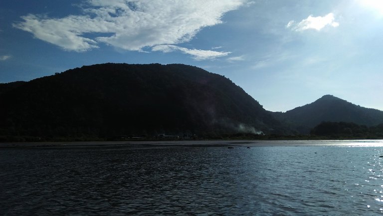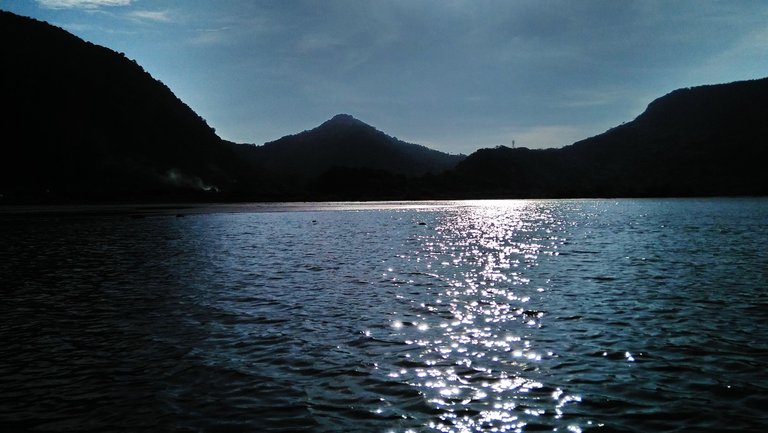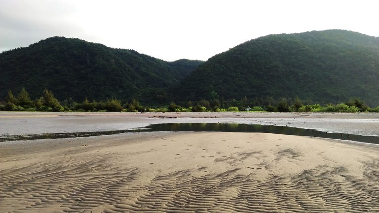
This image takes me to a topic in geography: contour, or contour line, or topography.
Topography is the study of the shape and features of the surface of the Earth and other observable astronomical objects including planets, moons, and asteroids. (Wikipedia: Topography).
In cartography, a contour line (often just called a "contour") joins points of equal elevation (height) above a given level, such as mean sea level.(Wikipedia: Contour line)
A contour map is a map illustrated with contour lines, for example a topographic map, which thus shows valleys and hills, and the steepness or gentleness of slopes.(Wikipedia: Contour line)
And here you will find an introduction about Contour Maps:
>> Introduction to Contour Maps


Hi @keuudeip.. nice pictures.
From where u take that picture?
The view of the mountain will be different if u take it from the ground or from the hills.isnt it?
Yes, of course. thank you.
So beautiful... we have lots of such beauty sites in our country too, its always visiting these places out of crowded cities these days :)
Thank you.
So beautifull pic
Thanks.
Amazing photos and great post ! :) If you upvote my posts i will up vote yours all time :D
Thanks.
Awsome picture
very useful and what you publish is very good for my personal knowledge, hopefully always keep motivation bro
the water is like jelly