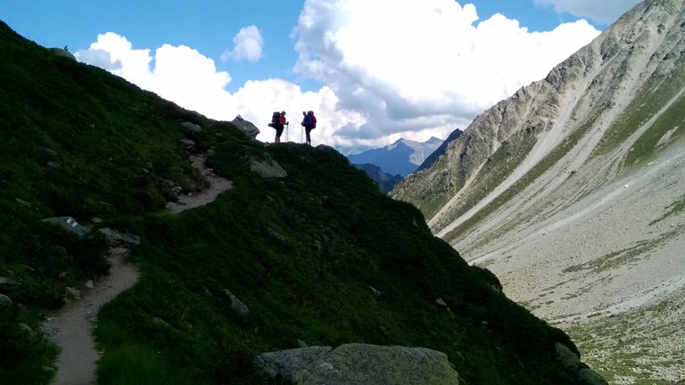
On our 3-rd day we managed to start right on time as planned - at 8 AM. We assumed to have extremely difficult day waiting for us, because we could calculate over 1300 meters of ascent and 1150 to descent. This forced us to decide to skip Trient, that saved some energy and one extra hour for us, we thanked ourselves later...
First 4 kilometers was gently uphill easy walk on wide trail:
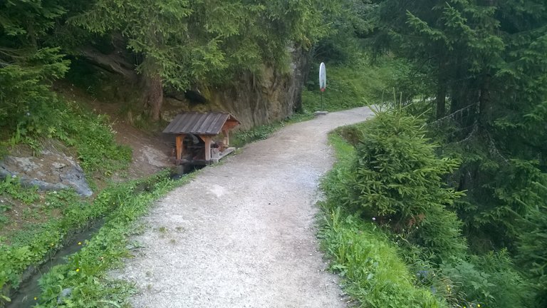
We crossed some repaired landslide sections:
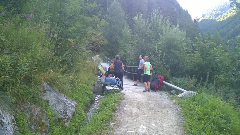
And some sections destroyed by landslide and redirected:
There was also a nice bridge across the river:
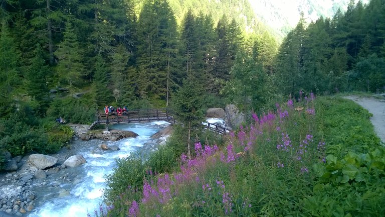
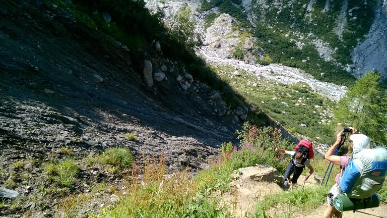
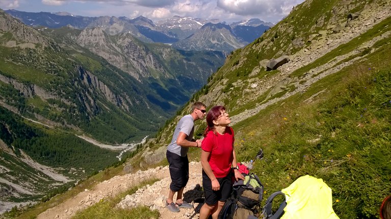
We gained elevation just some 330 meters on this section and it took us about 1,5 hour. But right there our real fun started! Next 2,5 kilometres before mountain pass had another 1000 meters of elevation gain and it took us another 3 hours to crawl uphill with our bags... But we didn't complain, because the views can't be described, I can prove this:
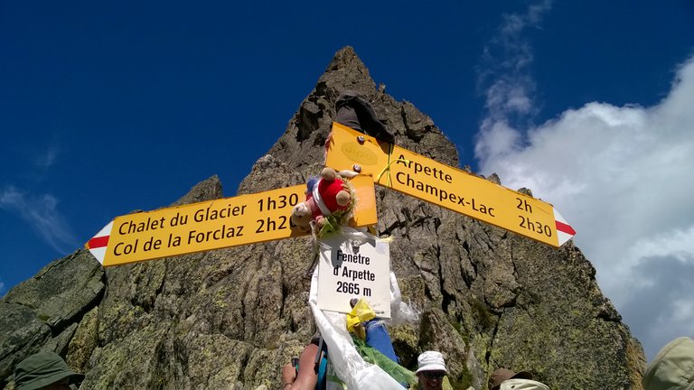
And finally we reached to Fenetre d' Arpette at 2665 meters above sea level:
And here I am:
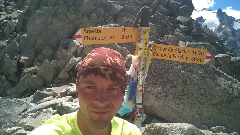
We had a lunch break there about a hour before our descent. It was much harder than we expected! First 2 kilometers of trail was described in guidebook as "boulderfield", we renamed it to "boulderporn"... It took us 2 hours, so our speed was just 1 km/h on descent:
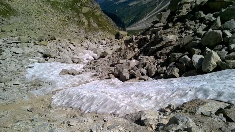
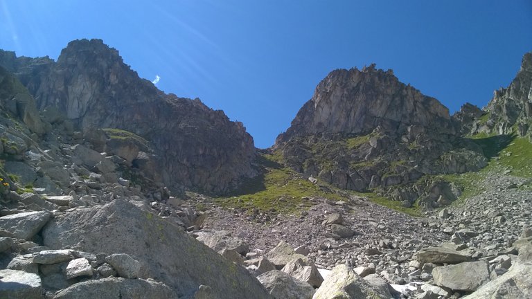
Finally we managed to reach our campsite, where we rewarded ourselves with some excellent cold local beer for walking over 10 hours and 12,9 km-s:
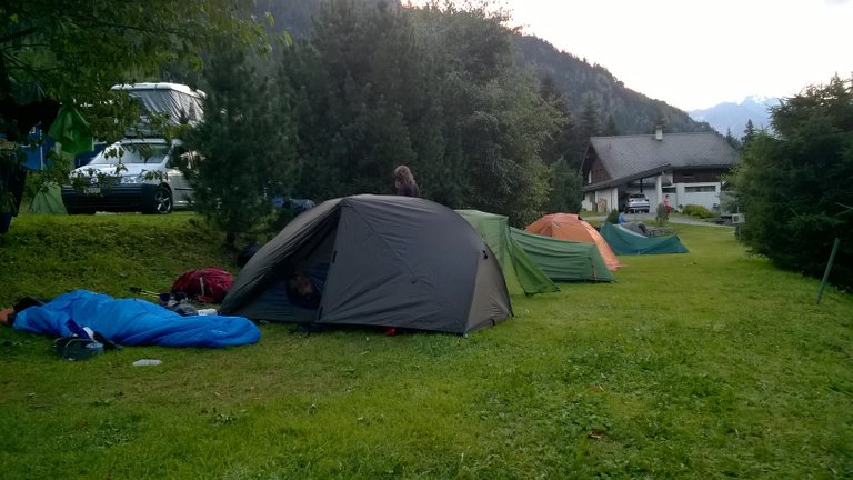
Thanks for your time, I hope you endoyed and this adventure continues soon! ;)
Wow...gorgeous views...well worth the effort. Thanks for sharing them with us :)
Thanks! It was physically challenging, maybe even too much for some in my group, but memories are still the best :)
Beautiful photos
Thanks! This all was even better in reality...