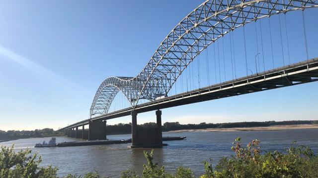
The river is so low that officials with the Army Corps of Engineers last week announced a plan to build a 45-foot-tall wall across the bottom of the river to prevent a "wedge" of saltwater from moving upstream toward water intakes.
Interesting article about the incredible low level of the Mississippi River because of a lack of rain upstream and around the River area. It's been a dry summer for sure, I've noticed the same. Nature has a funny way of going to extremes, and this summers lack of rain is an extreme for sure.
Read the full story here....
https://www.nola.com/news/environment/article_8718e0a4-442f-11ed-8c88-03521cec1506.html
I like to see some more photos of before and after of the area if you have.
Me too, I'd love to see current fresh water diversion areas. Can anyone recommend a site for satellite images? Real time?
Probably having some impact on the wetlands that depend on the fresh water of the River...?
I hope that the salt water hasn't come in and done too much damage to the fresh water plants....
You can support the new proposal (#240) on Peakd, Ecency, or using HiveSigner.
Thank you!Dear @onthehook8,May I ask you to review and support the new proposal (https://peakd.com/me/proposals/240) so I can continue to improve and maintain this service?