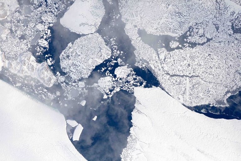
Operation IceBridge is flying in Greenland to measure how much ice has melted over the course of the summer from the ice sheet. The flights, which began on Aug. 25 and will go on until Sept. 21, repeat paths flown this spring and aim to monitor seasonal changes in the elevation of the ice sheet.
Full article at Nasa: https://climate.nasa.gov/news/2627/nasa-flights-map-summer-melt-of-greenland-land-ice/
This post recieved an upvote from minnowpond. If you would like to recieve upvotes from minnowpond on all your posts, simply FOLLOW @minnowpond
Well, we'll be in big trouble if the ice cap on Greenland would completely melt; sea level would rise 6 to 7 meters or 19 to 22 feet because of this. This becomes an immediate threath if the arctic icecap completely melts and thus the albedo on the northern hemisphere is significantly lowered as a result ... !
We are quickly heading towards this reality.