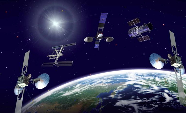
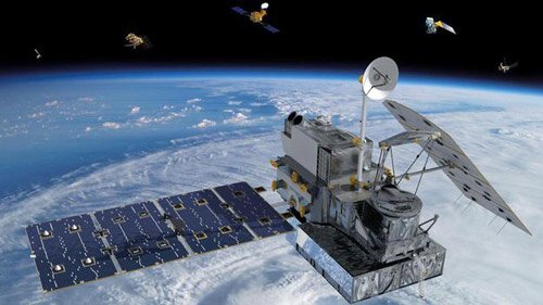
Since the launch of the Earth's first artificial satellite (1958), it has been almost 60 years since its launch. People use spacecraft, "space labs" through symmetrical, wave-sweep technology to conduct observations of the entire Earth, especially satellites orbiting the Earth. 10 days to re-take a picture of a region of the Earth. Through integrated analysis of images from this satellite not only can clearly see the image of the surface of the Earth, but also the traces not easily detected on Earth is also shown clearly from the photos taken from artificial satellite.
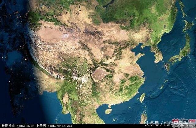
From photos taken by satellite, scientists have discovered large and small circles on the surface of the Earth. This shows that the geological structure in this place is round. What makes people even more surprised is that they have circles like circles drawn by humans, moreover the big circle consists of small circles or some circles overlapping or in a large circle with several rings The traces of these images can only be seen through the images of artificial satellites, which are difficult to detect through geological explorations. It is even more strange that geological exploration reveals that the structure of these circles is often an important mineral deposit. Example: Based on this circular structure, the drilling method is stopped for exploration.
Based on these ring structures, not only are they found in the Lower Truong Giang (China) where volcanic eruptions have been found. Iron is based on these ring structures, but not all ring-shaped structures have mineral resources but only so much of it.
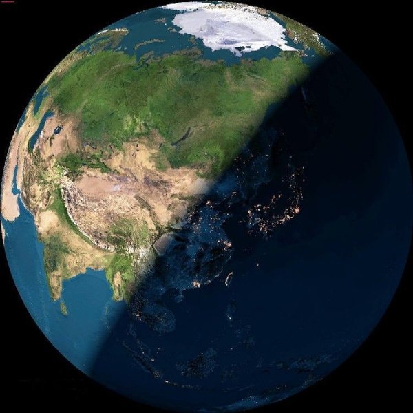
It is possible to see these ring-shaped structures from imagery that are not easily seen from Earth due to the observation from above. Observation from above can cover the landscape on a large scale, the range can be observed from the small field hom. In addition, among the machines used for observation from satellites, there are infrared observation machines. This machine can distinguish the smallest differences in the amount of water, temperature, and type of vegetation on Earth. It is not uncommon for an infrared detector to detect circular structures on Earth.
all cgi (computer generated images) wheres the real pics of earth if it truly is a globe as they say haha.no polaroid photos N.A.S.A?