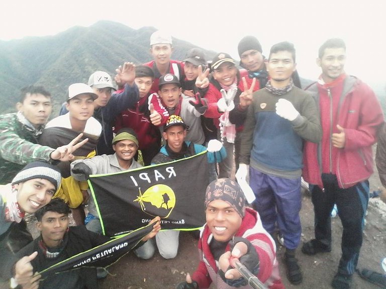
Burni Telong which in Indonesian is defined as a burning mountain, located at an altitude of 2,600 meters above sea level. The mountain is only five kilometers from Redeolong, the capital of Bener Meriah Regency and Rembele Airport (RBL). To reach the mountain that is often called Burni Cempege (mountain full of sulfur-red), there are several pathways. One of them, through the Edelwais Line. Named Edelwais because along the path overgrown with flowers of Edelwais which Gayo society is believed to be a perennial flower. This path begins with asphalt road starting from the main intersection Takengon-Bireun up to the slopes Burni Telong precisely in the village of Bandar Lampahan Timang Gajah District which is 3 km.

Burni Telong
Habit of mountain climbers or moutaner and also for the layman, if they want to do the climb first coordinate with the local people, especially local young people. For those who are familiar with or familiar with the path and terrain of Burni Telong, it is not a problem but for immigrants and tourists who have not or do not know further Burni Telong, they usually invite youth or community from around the region as a guide.
The condition of the field to reach to the peak height is rather steep. But, the path from Bandar Lampahan to the slopes is a favorite choice of nature lovers or mountain climbers.

Hi! I am a robot. I just upvoted you! I found similar content that readers might be interested in:
https://steemit.com/travel/@muhammadwahyudi/heavenly-climber-in-aceh-mount-burni-telong-bener-meriah-aceh-indonesia-2017725t235019325z
thanks @cheetah
Looksdelicioussdfsfdsfsdfs