Mount Sinabung Volcano Eruption
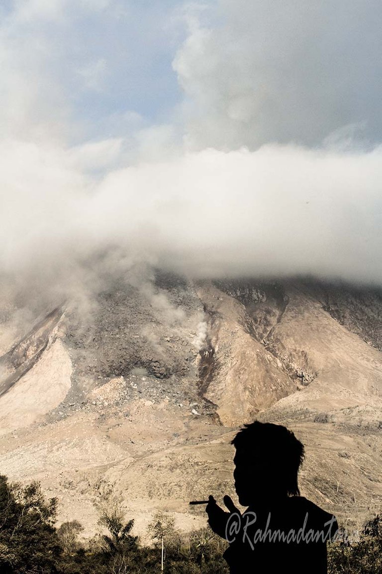
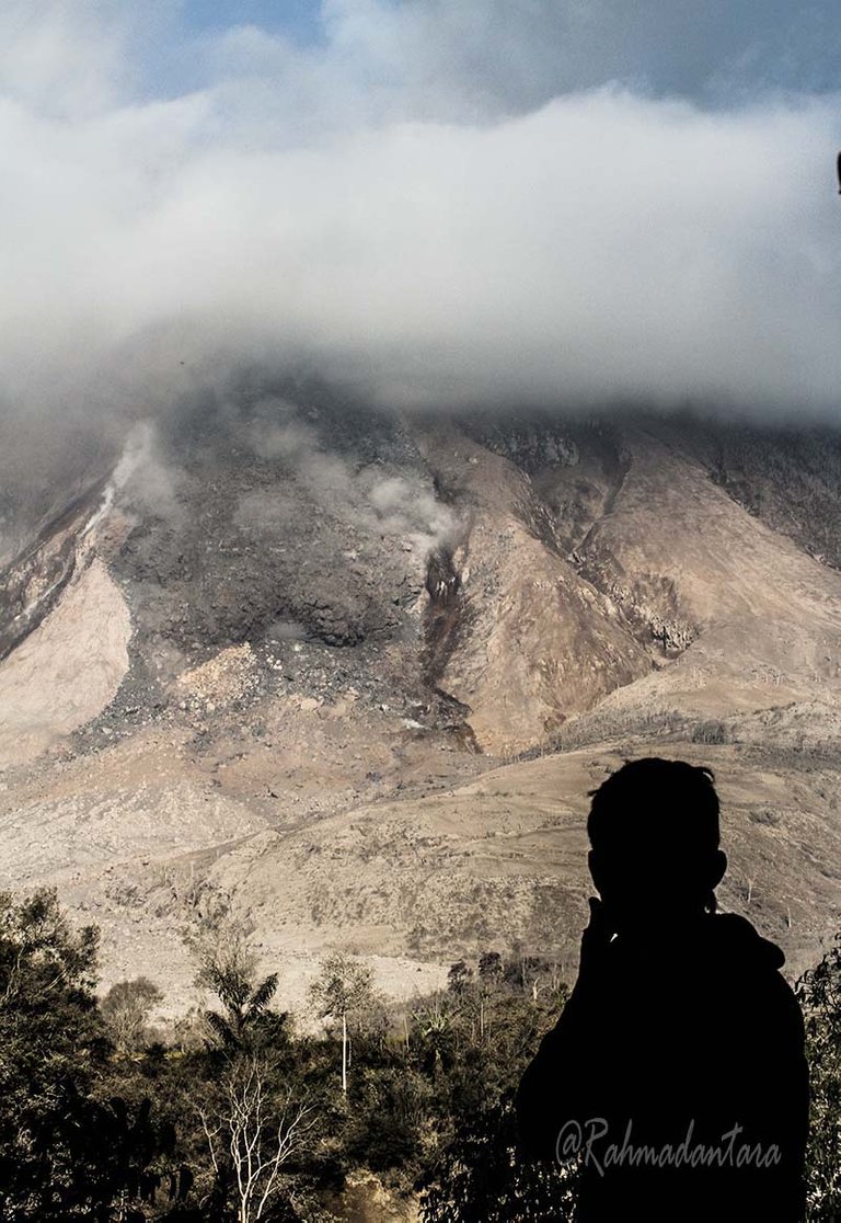
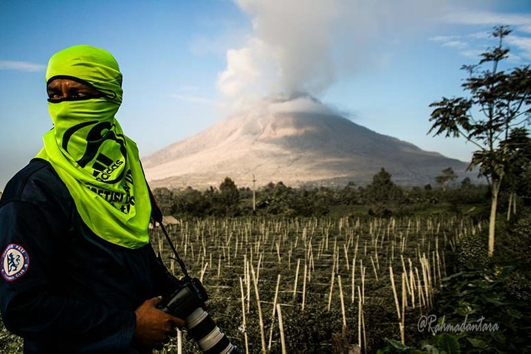
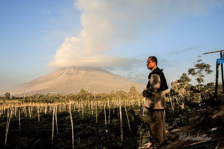
Hello Friends Steemian, how are you all, thank you for visiting my blog, my posting times say "Sinabung mountain" recently I was exploring the foot of Mount Sinabung and I took some pictures, let's see

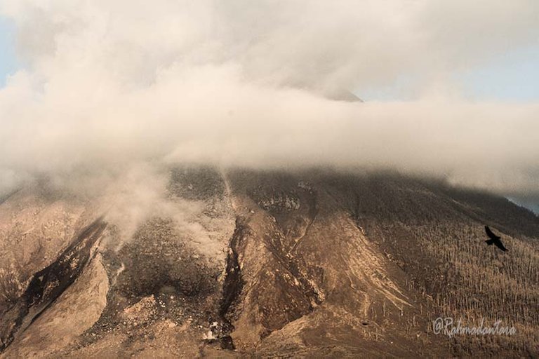
Sinabung Mountain in Karo language called 'Dealing Sinabung' is a volcano in the land of Karo Regency, North Sumatra, Indonesia.
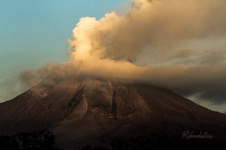
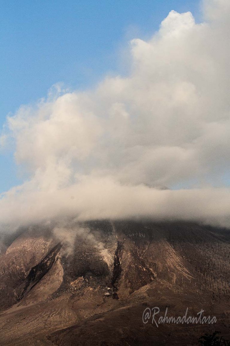
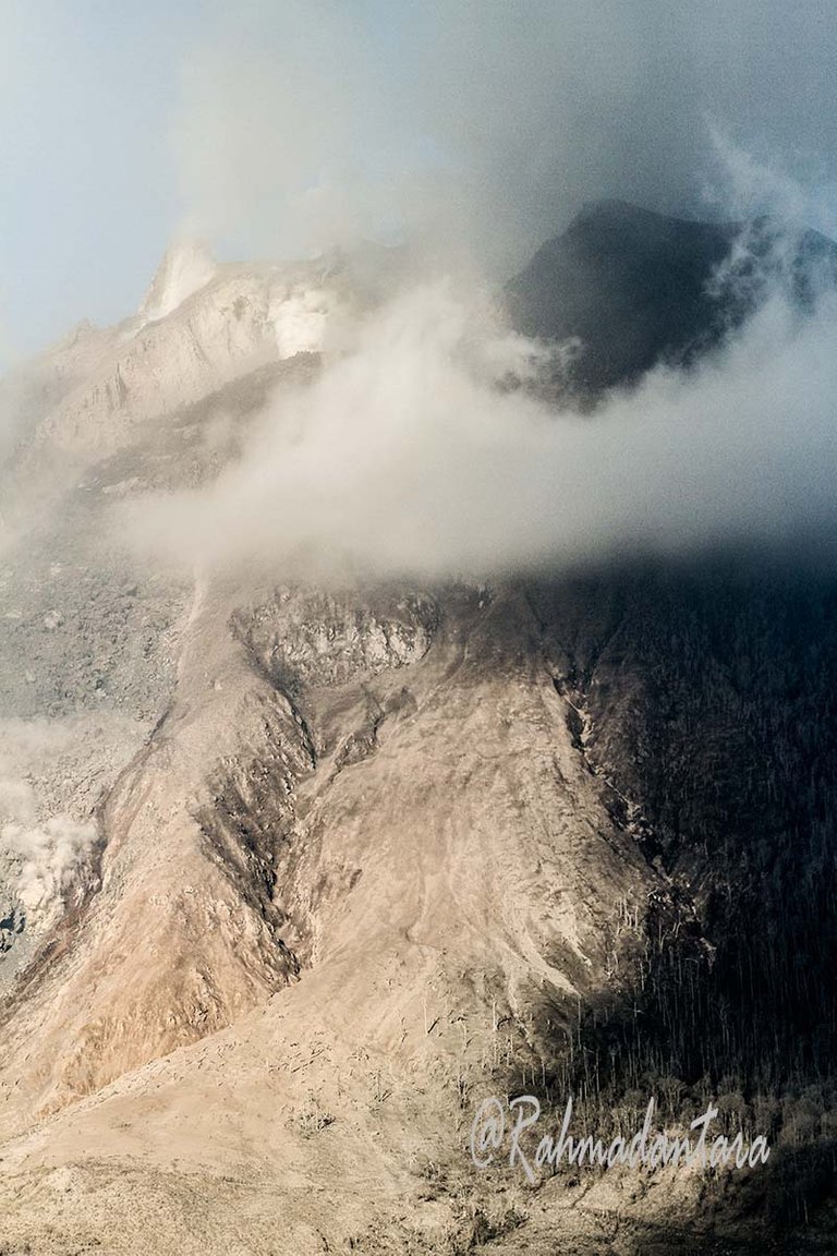
'Mount Sinabung' stands firmly clawing the clouds almost side by side with 'Mount Sibayak' which are two active volcanoes with a peak of 2,451 meters into the mountain with its 2nd peak in the province of Sumatra.
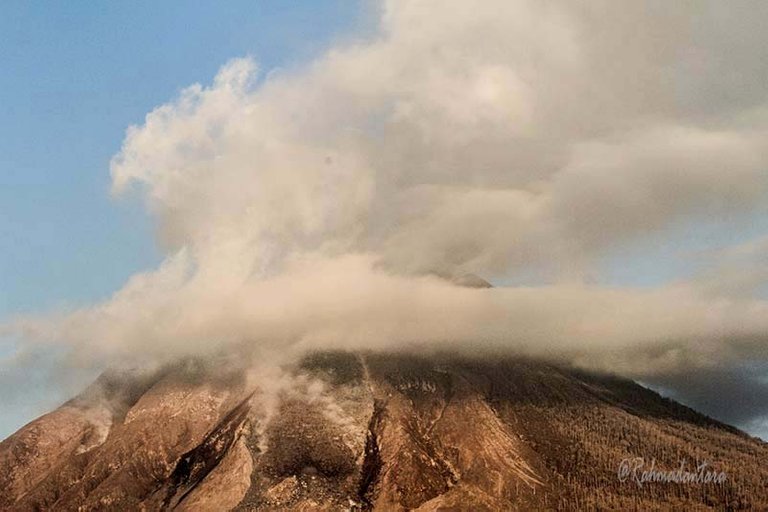
Previously 'Sinabung' has never been recorded since history erupted since 1600, but 'Sinabung' suddenly re-activated and erupted in 2010, not only that year, the volcano experienced the last eruption around September 2013 until today which continues to erupt.

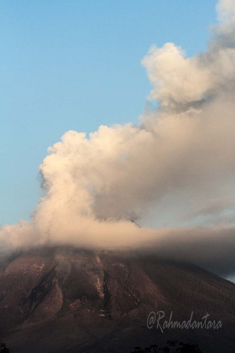
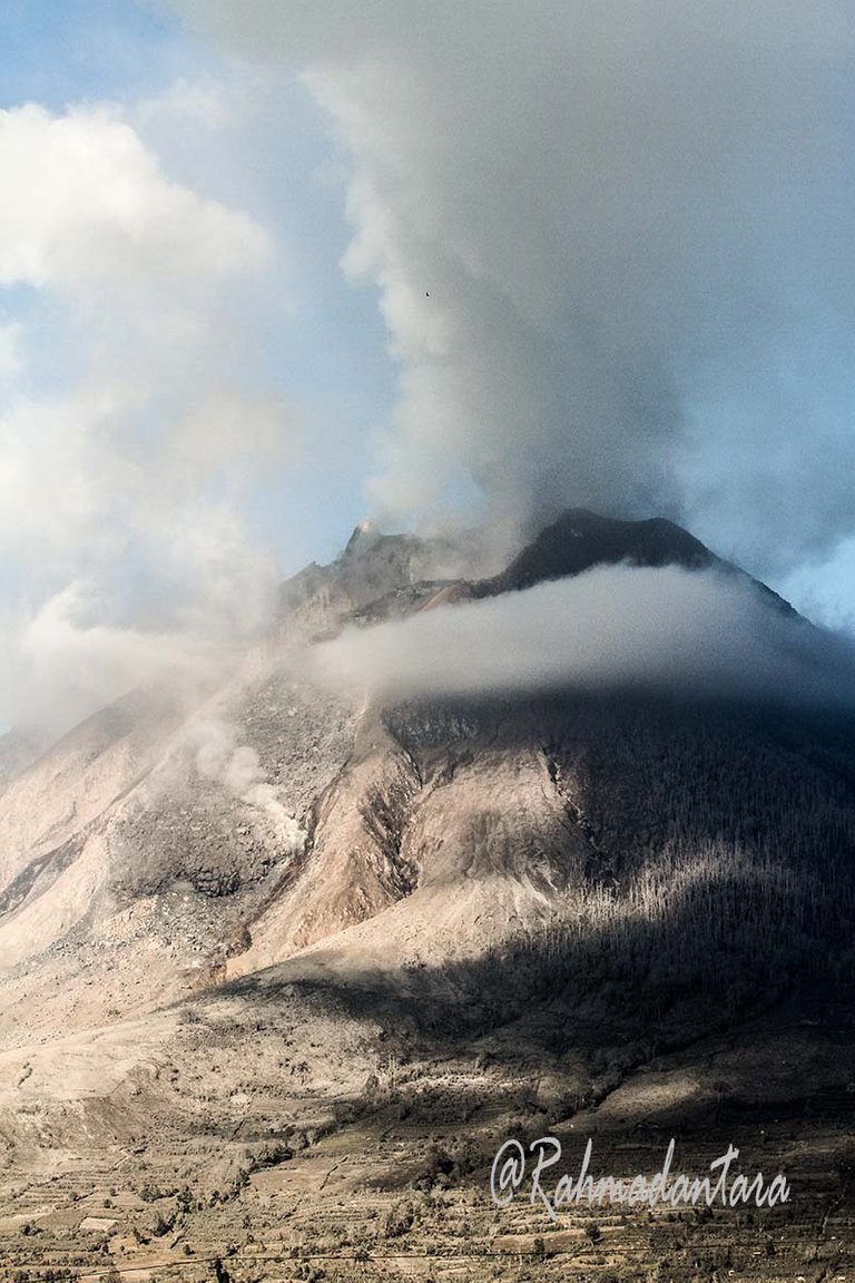
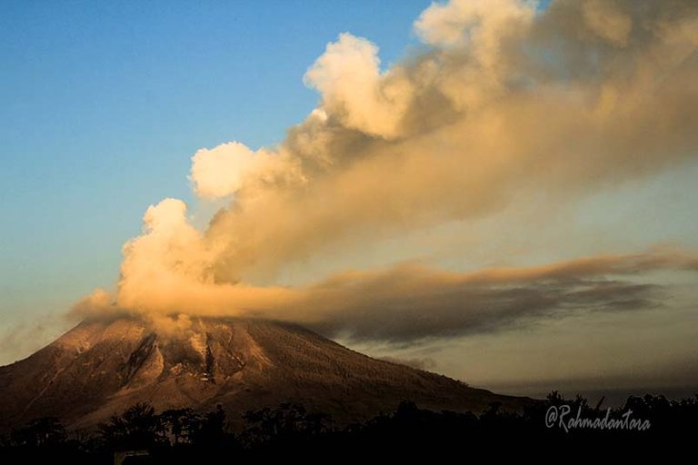
Precisely August 27, 2010 ago, 'Mount Sinabung' resigned smoke and volcanic ash and right on August 29, 2010, the giant mountain that issued a Lava that made the whole island of panicked Karo scattered out their settlements.


Conditions that make the status of 'Mount Sinabung; raised to 'Awas', as many as 12,000 more residents in the Karo district land district were evacuated to eight safe locations in North Sumatra.
Sinabung 'Sinabung' dribbled into the air blowing from the southwest to the north-east of North Sumatra so cause some of Medan City shrouded eruption eruption of Mount Sinabung even in part province of Aceh affected by volcanic ash Sibanung.


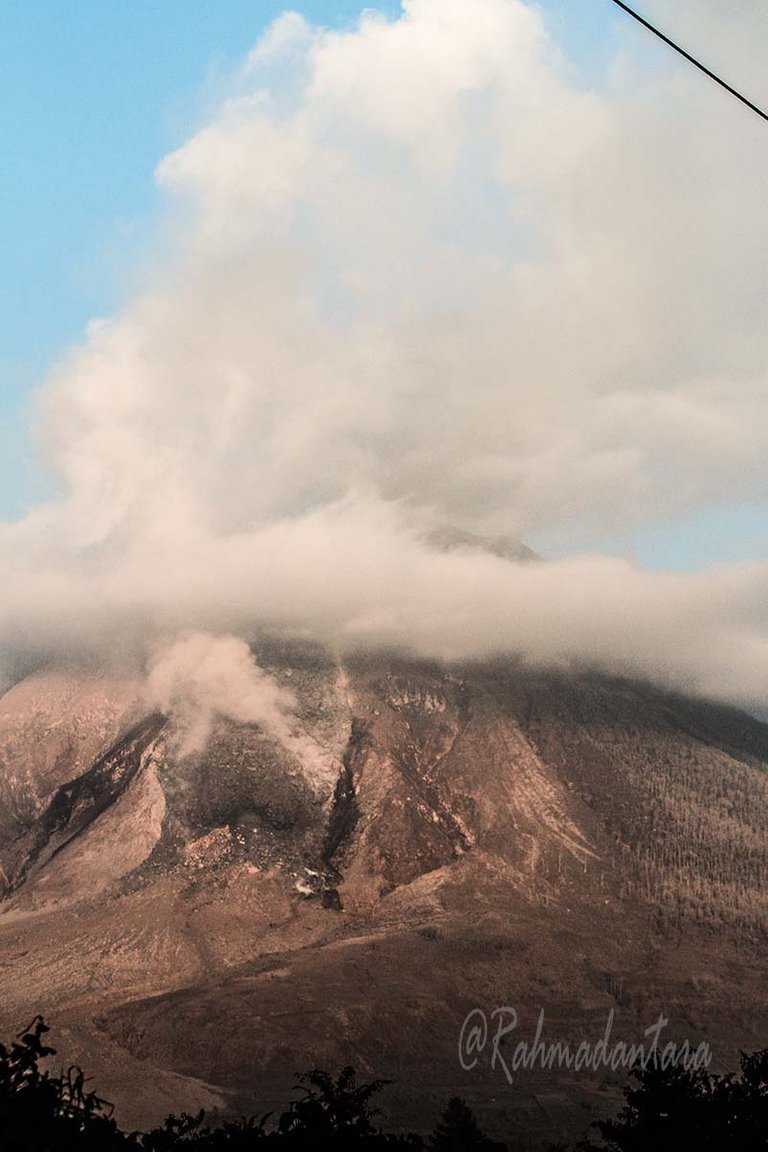
Not only that, as long as September 3, the 'Sinabung' volcano stamped two eruptions, the first eruption at around 04:45 pm morning while the second eruption at approximately 18:00 pm evening.
In the first eruption sprayed volcanic dust with a height of 3 kilometers to the air and in the first eruption simultaneously with the volcanic earthquake that shook up to 25 kilometers from the departure of the mountain 'Sinabung'.

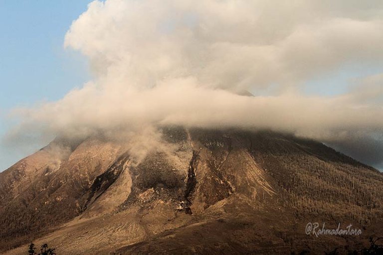
Sinabung volcano rocked 'Karo' land on September 7th last year, the eruption at that time became the biggest eruption since Mount Sinabung was declared active on August 29, 2010.
The sound of the 'Sinabung' eruption trembles to a distance of 8 kilometers from the center of Sinabung and the volcanic ash eruption soars up to 5,000 meters into the air causing almost ash-covered ash throughout Medan city.
The eruption occurred in 2013, Mount Sinabung erupted up to 4 times the eruption that caused the fear deep for the soul of the people at the foot of the mountain. The first day eruption occurred on September 15, 2013 in the early hours of the illness, precisely on September 17, 2013, again two major eruptions during the day and sick days, the second eruption spewing hot clouds with dust bursts.
The explosion did not start with the previous signs that like to increase the activity of 'Sinabung' so the eruption of the mountain that happened very only, no longer early to the community, no casualties in the event, thousands of residents evacuate themselves to the safe area while volcanic dust enveloped the area of Sibolangit and Berastagi Medan and Aceh.
After the terrible eruption, the status of Mount Sinabung was raised to level 3 into alert status, all the people in the mountain footholds were evacuated en masse to the area with a distance of nearly 10 kilometers from the 'Sinabung'
Eruption after eruption continues, Status 'Sinabung' re-strengthened at level 4 or level Awas until the beginning of 2014, throughout the year was lava incandescence along with bursts of hot clouds continues to occur.
And on January 4, 2014, there was a series of earthquakes triggered by the eruption of 'Sinabung, and the hot clouds glide continuously throughout the month became the victims of 20 thousand lives of local residents their settlements.

Not only on the show, precisely in 2016, Mount Sinabung re-emitted hot clouds with a terrible eruption, hot clouds covering the entire settlement of Gamber Village, Simpang Empat District, Karo District.
As a result of the incident, as many as 7 people were found dead, and 2 other residents are suffering burns on all parts of the body, due to the victims are in the red zone or danger zone with a radius of 4 Km from the point of Mount Sinabung.
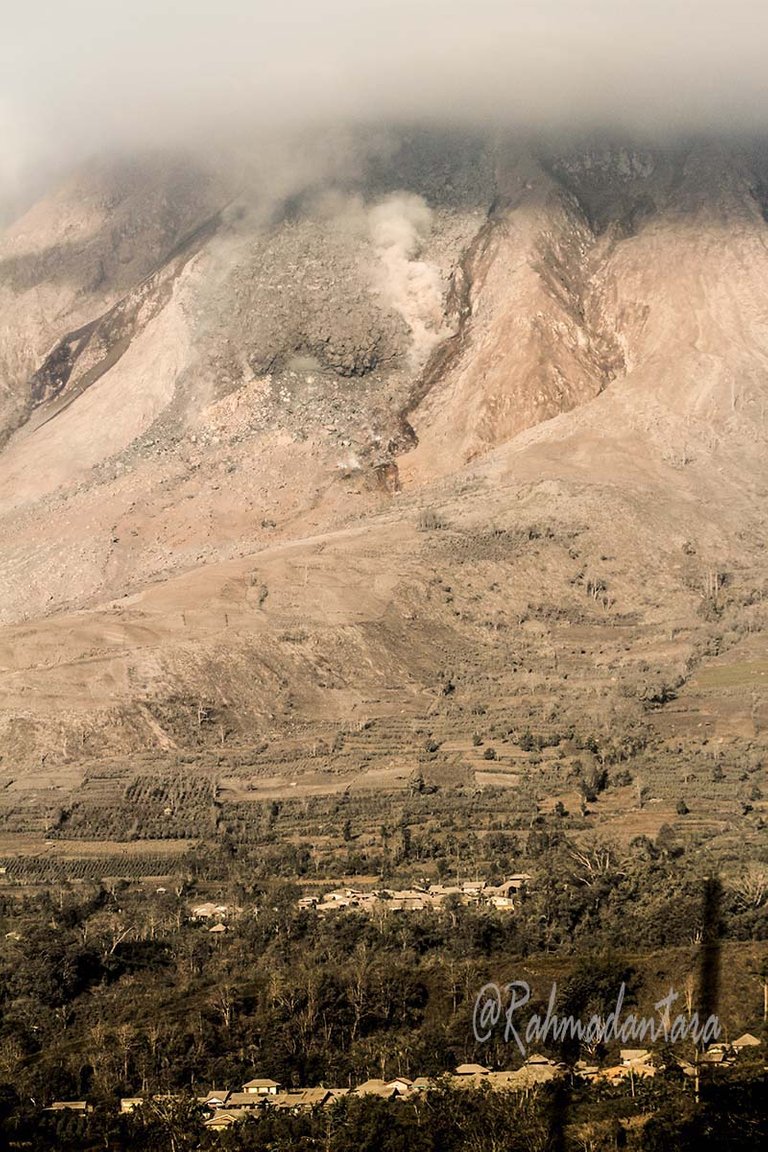
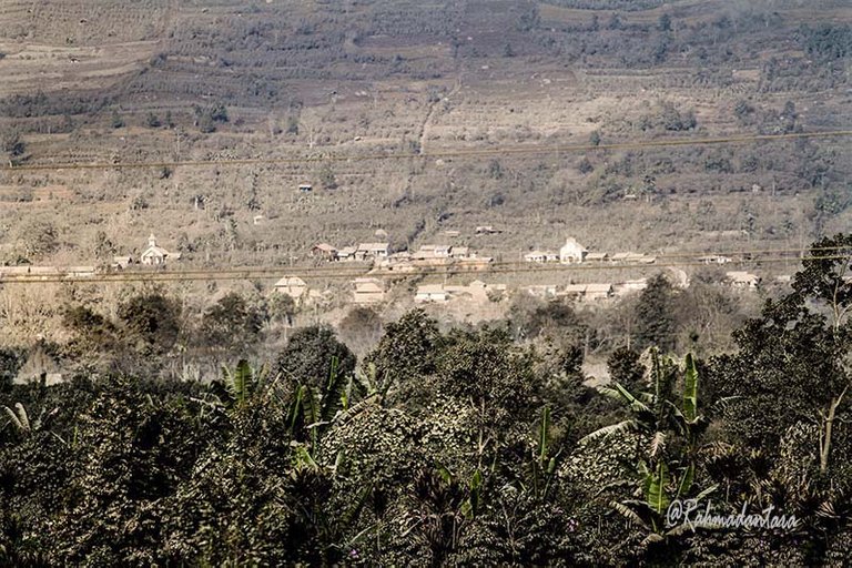
Natural disasters are a natural phenomenon that we do not avoid a very large on the socio-economic life because human life can not be separated from the natural surroundings.
In the event of the eruption of Mount Merapi, 'Sinabung' many people who live in the neighborhood around the 'Sinabung' volcano eruption of Mount Merapi is destructive nature that contains plantations of various plants belonging to local heltikultura.
During the eruption event 'Sinabung' citizens well cannot do farming activities and their plantations are totally paralyzed.
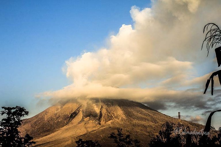
| Model | Canon EOS 7D |
|---|---|
| Lens | EF70-200mm f/4L USM |
| Exposure | 1/250 |
| Aperture | 11 |
| Focal Length | 70.0 mm |
| ISO Speed | 600 |
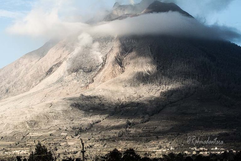
What a majestic mountain, really liked it
Thank you very much
Are u go there brother?
yes right, I went straight to the foot of Mount Sinabung, on the eruption of Merapi Sinabung in 2014 ago. Thank you friend.
Ow..cool. Why you're not going to there at these moment.
Dude! These are some amazing photos 👌! I also recently made a blog post about my hike up a volvano haha, but these are way more epic :)
Thank you very much, continue as small as our work.