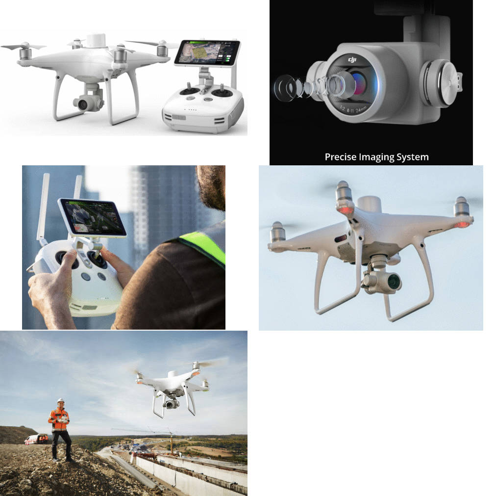
DJI Phantom 4 RTK
Most Exceptional Drone w/ Accurate Mapping|Surveying System
Screenshots

Hunter's comment
I present to you the high-precision aerial survey drone that is completely combined with awesome features perfect for level navigation and positioning.
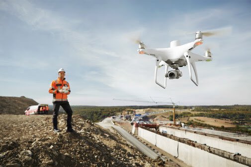
With this device the conventional way of land surveying or mapping is over. The most compact and accurate aerial drone perfect for low altitude mapping and positioning!
The DJI Phantom 4 RTK has some cool features for next level Mapping and Surveying:
- It has Centimeter Level Positioning System
- It gathers date accurately with TimeSync
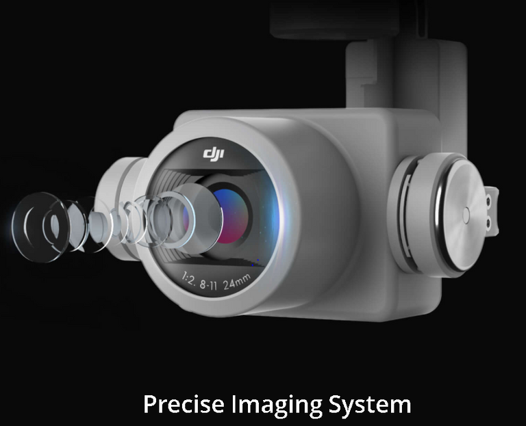
- Impressive and Precise Imaging System
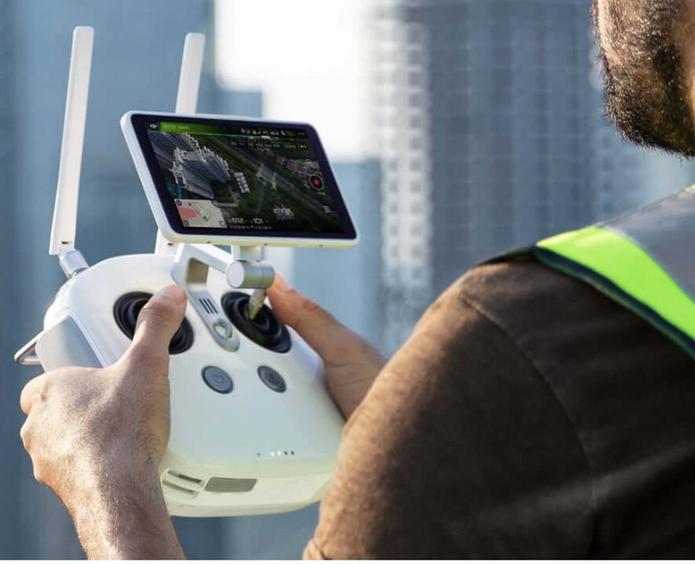
- It can transmit HD Image and Video at distances up to 7km perfect for mapping larger sites!
Upgrade your traditional way of mapping. With this device you can gather the most precise data that it captures from complex surveying, mapping and for inspection workflows! Thanks to DJI Phantom 4 RTK
Link
https://www.dji.com/phantom-4-rtk
Contributors
Hunter: @dwaeji-aizelle

This is posted on Steemhunt - A place where you can dig products and earn STEEM.
View on Steemhunt.com


Awesome hunt ! Your hunt is now verified.
Join us on Steemhunt's discord
https://discord.gg/3BG4r4q
We welcome your participation in our vibrant community
checkout @steemhunt for latest updates
Though have not seen a drone in my life before before, I surely have plans of getting one and going through the features of this drone and it capabilities I think it’s my best choice
It is a nice drone that can have data collection and accurate mapping which is very helpful in agriculture. Great hunt.
DJI is the best drone company.
This product is also very new.
@dwaeji-aizelle, go and place your daily vote for Steem on netcoins! http://contest.gonetcoins.com/
Congratulations!
We have upvoted your post for your contribution within our community.
Thanks again and look forward to seeing your next hunt!
Want to chat? Join us on: