Sometimes I know exactly where I am going. In that case it’s easy, pick a route and go.
More often I have an idea where I’d like to end up, and generally speaking a direction to go.
Once in a while I just follow the front wheel and see where it takes me.
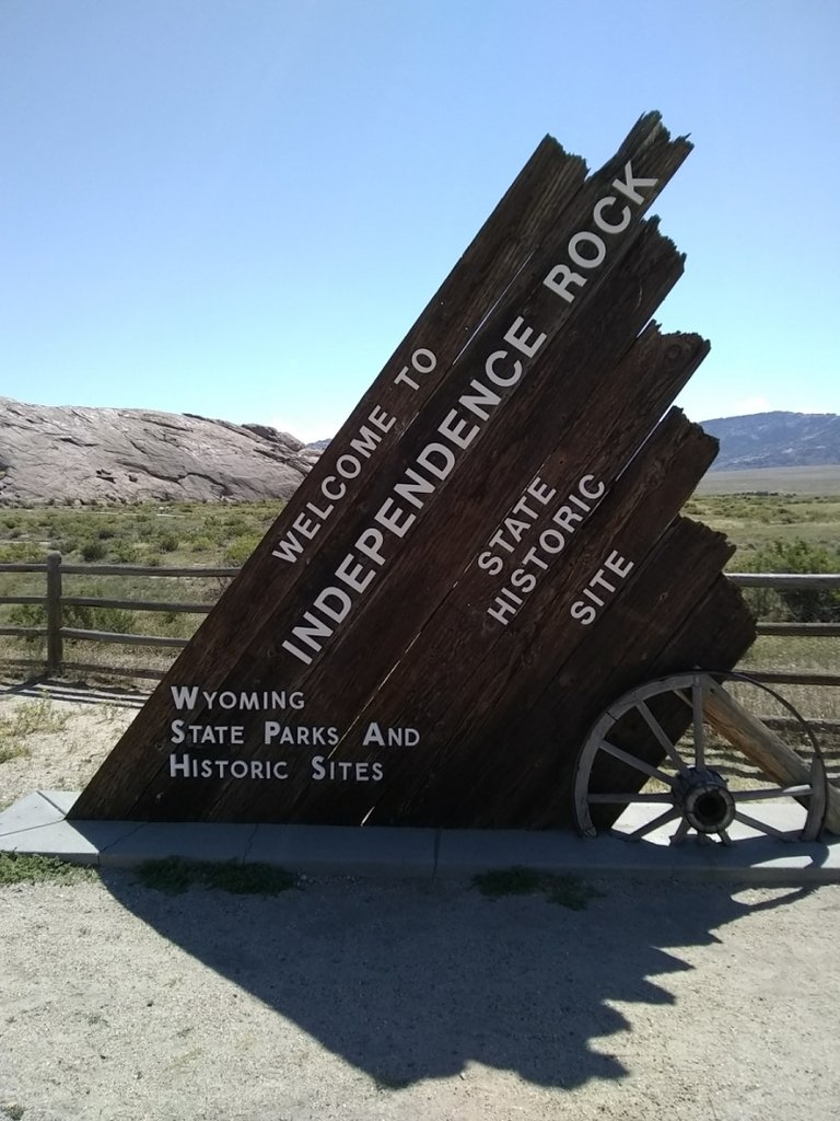
So we had a little electrical trouble as we were crossing South Dakota and the is not much photographic proof that we made that part of the trip. We pick back up at Independence Rock, Wyoming. I got there because my GPS was part of the collateral damage from the problem.
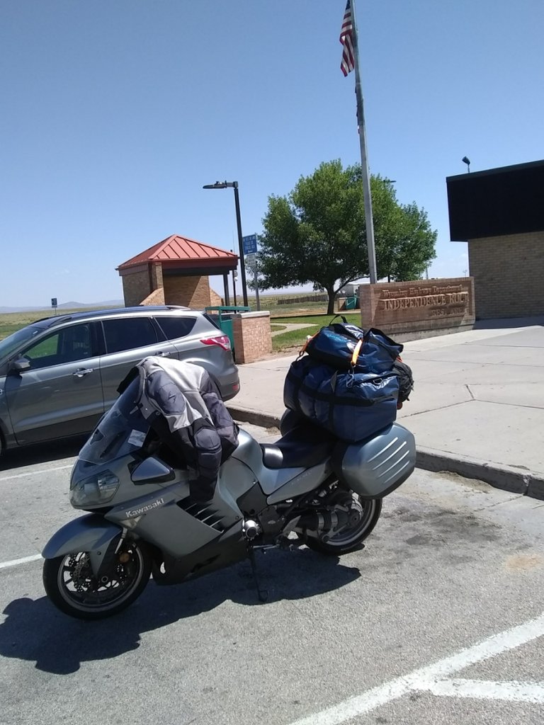
Inedpenence Rock is a huge boulder that sits in the prairies of Wyoming roughly between Casper and Rawlins. Yeah, what most would call the middle of nowhere. As you can see here, there is a very nice rest area associated with Independence Rock.
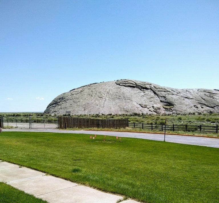
Independence Rock sits just about right on the old Oregon Trail and is an enormous landmark. It got it's name from the travelers on the Oregon Trail. You wanted to be here on or before the 4th of July to make it through the Blue Mountains in Oregon before the snow. Snow in the Blues killed a lot of travelers.
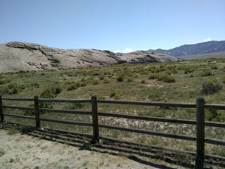
To get a sense of scale of the size of this boulder, there are people in the previous photo. Very nearly center of the photo up on the rock itself. It was much too large to get in one frame on my phone so this is the other half.
Independence Rock is located just off Wyoming Highway 220, a narrow back road. There are several places where you can still see the wagon tracks of the Oregon Trail where they cross the highway.
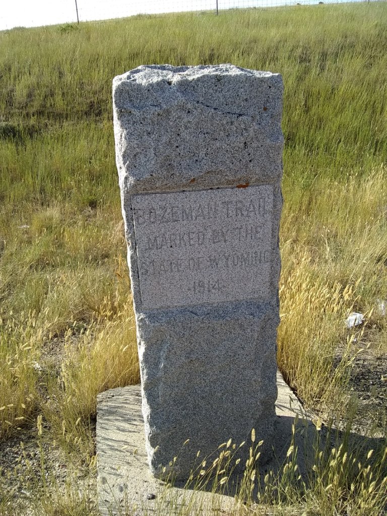
There is another trail that split off from the Oregon Trail and headed up to Bozeman, Montana that got some fairly heavy use when gold was discovered in the area. As you can see this marker was placed in 1914 to highlight that trail.
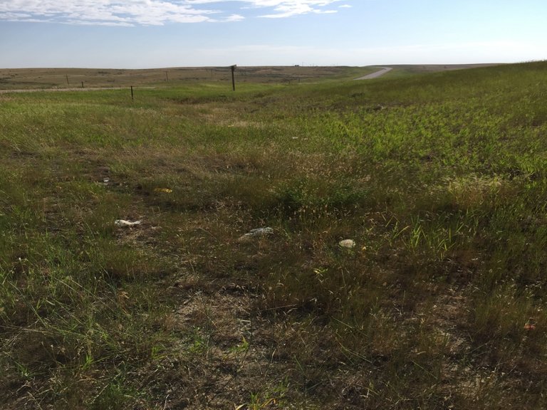
These are wagon tracks that remain of the Bozeman Trail. The photo might not show them well, but you can see them distinctly right here. You can see the highway in this photo, too. Not much traffic.
My Mom's family came west after the Civil War, and spent at least part of their trip on the Oregon Trail.
Thanks for coming along for the ride!
[//]:# (!steemitworldmap 42.493370 lat -107.131105 long d3scr)
All words and photographs in this post are mine. For better or worse

Adsactly is a society for freethinking people. Interested? Click Here to join our Discord channel.

In the bottom of the page type in: adsactly-witness and select vote.

All small letters and without the @ sign
Or give us a direct vote here
Okay that is really awesome!!!!! Looks like great weather too!! Looking back at how people went west it's a miracle any survived.
I know! I've actually seen wagons that made the trip, and I still have a really hard time imagining the hardships those people endured and survived. Amazing.
That is pretty awesome. I am surprised that they people climb the rock. I would think they would be worried about people defacing it and stuff. This looks like it would be a really cool place to visit. Not like a place where you would spend all day, but definitely a place to say you have been there before. Plus the history around it is very cool. Thanks for sharing!
It's so freaking big I don't know that you could do much to deface it. I'm sure that any loose bits have been picked up as souvenirs over the last 150 years...
It actually took a wrong (missed) turn for me to get there :)
Wow! Such a vast open space! I can only imagine the fear of those people who were stuck out there in the snow, literally no help anywhere to be seen! So much history here too.
Thank you for your post!
BB <3 You really do share some interesting places on your travels @bigtom13!
I've been thinking all day about the people that weren't there by independence day. There was literally no place to really stay for the next 1500 miles. They had to know they were in deep trouble. If they pushed their animals they probably weren't even going to make it to the Blue Mountains after they had crossed the Rockies and the Snake River. Scary stuff indeed.
Congratulations! This post has been chosen as one of the daily Whistle Stops for The STEEM Engine!
You can see your post's place along the track here: The Daily Whistle Stops, Issue 311 (11/13/18)
Wow that is a massive rock @bigtom13, sitting all by itself too! Thank you for sharing!
I need to do some research into how that particular prairie was formed. I'm guessing it was volcanic ash. Which means it would have covered the hill that is under that rock :) Our desert is ground down mountains that came out to be several hundred feet thick. That's why it's so level...
That is one hell of a rock and I had never seen pictures of it before, glad that I was along for this rest stop with you.
It is an impressive rock. I'll bet it was a welcome sight rolling across the prairie.
funnn!! looks sunshiney and happy ... hope you had a great time too.
I did. Thank you!
Never heard of this one! It certainly looks like a heck of a rock! Thanks for teaching me something new ;0)
I'd heard of it, but I certainly wasn't looking for it that morning. Another of those incredible accidents that seem to happen to me often. I actually blew a turn to get there :)
I have heard of Independence Rock but never seen it, thanks for sharing this part of your trip with us
I didn't go looking for it, but I'm sure glad I got to see it. Took a blown turn to get me there :)
Sometimes fate takes us places never planned but are so cool to find
One huge rock and one huge part of history with it. Good thing you stopped there and had your camera too. Places like that make me want to visit America. I am not that curious about the cities but these kinds of places would be nice to see. Thank you for sharing another one of your lovely travels with us darling. May you always have an open road and a safe journey 💚
Thanks. I'm like you. I don't particularly care about the cities, but really care about the spaces between them. And this spot has a lot of space between :)
Happy travel journey. Thanks for sharing your experience.
We truly are living in two extremes of the world right now, as I read your sunny hot bright photoed post, it is raining and green outside, well actually it's dark outside now, but the rain is coming and I love the sound of it on the windows.
I bet you'll have a toasty warm Christmas, unless you go somewhere else for the holidays?
My Christmas tradition includes a bbq for dinner :) Then I can send pictures to friends and relatives in the north and just torture them :)
I have a traditional ride on New Years Day out to a place called "Agua Calliente" (Hot Water) in California. There is a huge gathering of BMW guys that let me hang around with them some. It's a good deal. I'll photo and post it this year.
An incredible walk, @bigtom13, the photographs are spectacular, how much beauty in those landscapes. I am amazed with the big rock. Thank you for the story you are leaving in these lines, it is always good to learn something new. Greetings.
It's just a stunning big rock that looks entirely out of place. It is one of those places that I felt a profound sense of history while I was there.
Congratulations, Your Post Has Been Added To The Steemit Worldmap!
Author link: http://steemitworldmap.com?author=bigtom13Post link: http://steemitworldmap.com?post=travels-with-connie-81-independence-rock
Want to have your post on the map too?
Haha! I love following your travels with Connie. Sounds like so much fun. I hope someday to have the freedom to travel around and just find places. ♥