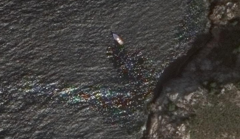
What on earth is happening here? Is the boat leaking fuel, or is there something more nefarious going on? This satellite image is from 2015, so quite a long a go. The coordinates are: 11°43'20"N 64°24'21"W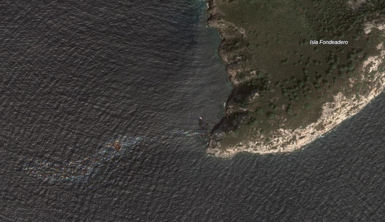
What on earth is happening here? Is the boat leaking fuel, or is there something more nefarious going on? This satellite image is from 2015, so quite a long a go. The coordinates are: 11°43'20"N 64°24'21"W
Que raro
Algae bloom?
Here's a closeup.