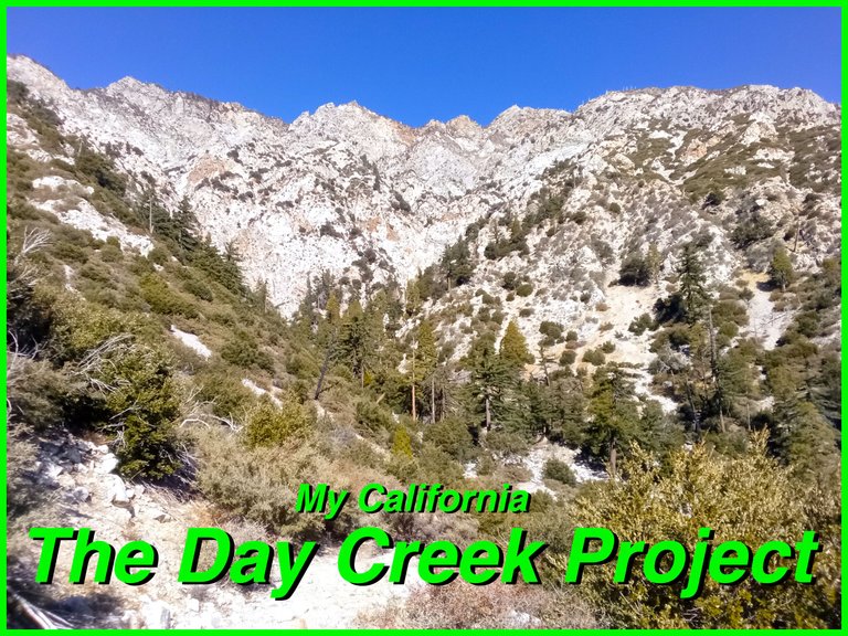
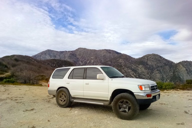
For this weeks Show Us Your California contest by @thesocalhive I headed up into the San Gabriel mountains to spend a few days working on...
The Day Creek Project!!

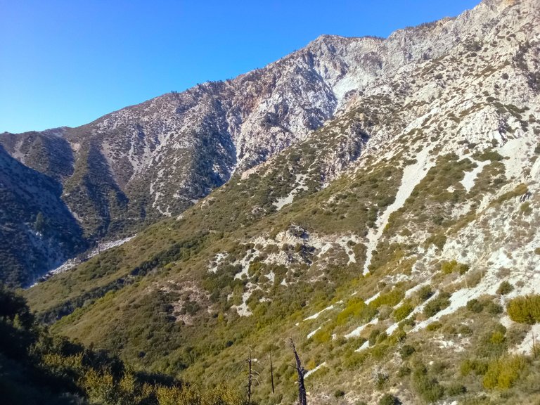
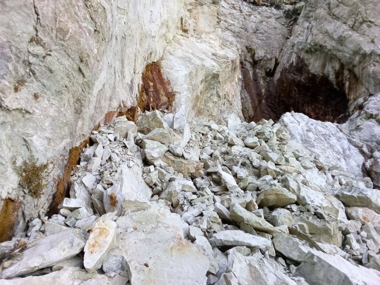
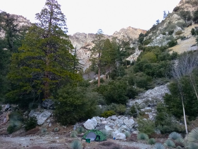
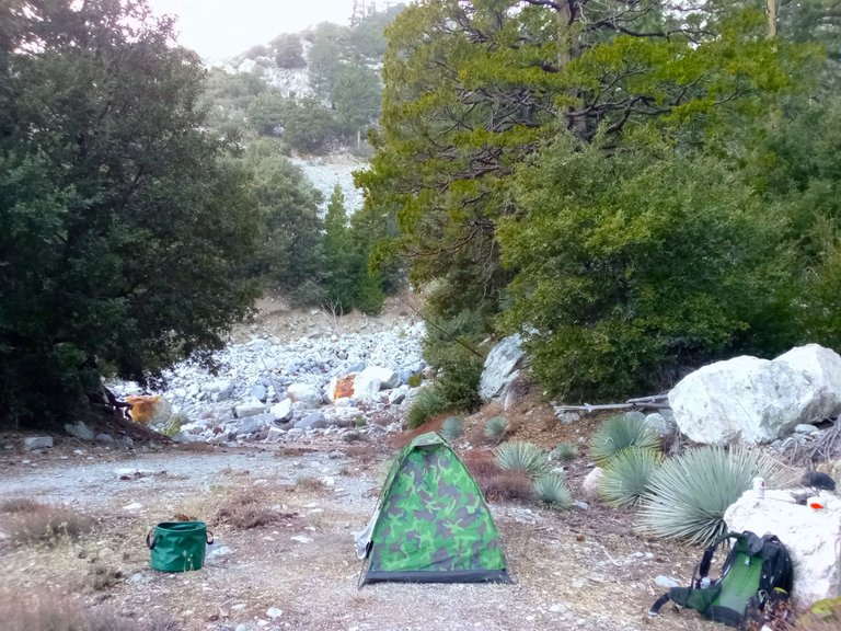
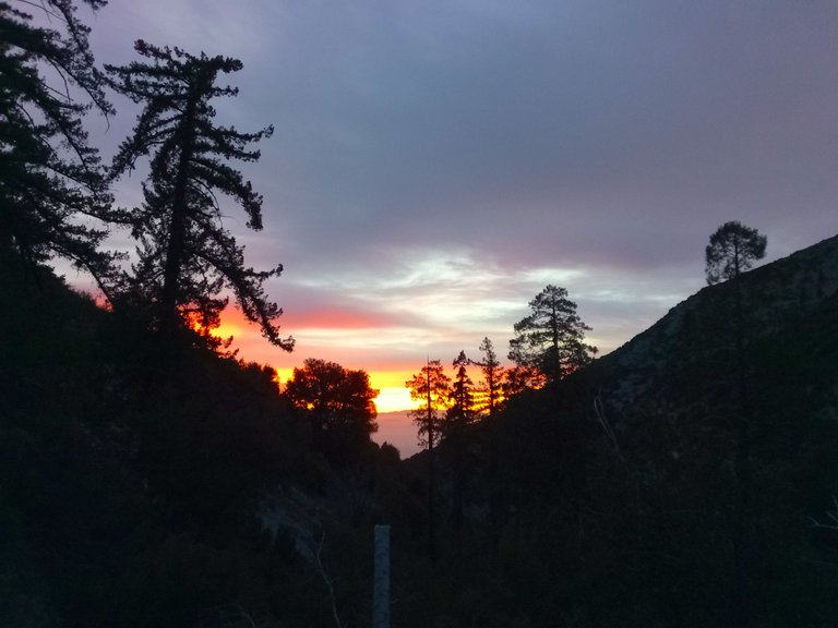
So a little over a year ago I decided to take on a trail project and made several trips up the Cucamonga truck trail to work on fixing up the overgrown trail going down to Day creek. You can read about those trips here, here, here, and here. And so this year I wanted to make at least one trip up there just to keep up on the trail maintenance so it doesn't get so overgrown again. So once again I made the drive up the long dirt road passed San Sevaine flats, Buck point, and the Joe Elliot camp all the way to the end of the road where my trail begins. I threw on my backpack, grabbed my shovel and my Harbor Freight hand saw, and headed down the trail. Luckily the trail was still in pretty good condition, but there was still several spots where I stopped and did trail work. Eventually I got down to the creek and I setup my camp in the camping area there. Once camp was all setup I decided to head up the creek to the springs. I hopped rocks up the canyon and as I was getting close I started seeing several new rockslides that had come down. And when I arrived at the springs I was surprised to see that a huge rockslide had come down right on the middle of the springs. The waterfall to the left and the waterfall to the right were still uncovered and flowing well, but the whole middle section where there were several cracks in the cliff that would squirt spring water was now mostly buried with only a few of the highest cracks still exposed and flowing. It was a little disappointing, but the silver lining was that the rock pile made it possible to climb up above the waterfall on the right and access the springs coming out of the cliff there. I had always wanted to climb up there in the past, but it was always a bit too difficult for me. But now it was easily accessible and I enjoyed hanging out up there for a bit. After spending some time by the springs I headed back down the canyon to my camp and then headed out the trail to the view spot where I watched the sunset and the city lights come on. After that I headed back to camp, made some dinner, and enjoyed a little campfire before heading to bed.
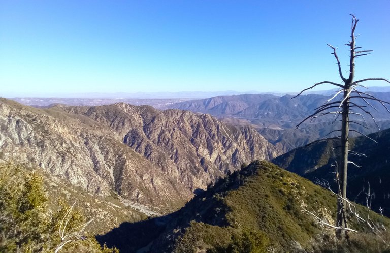
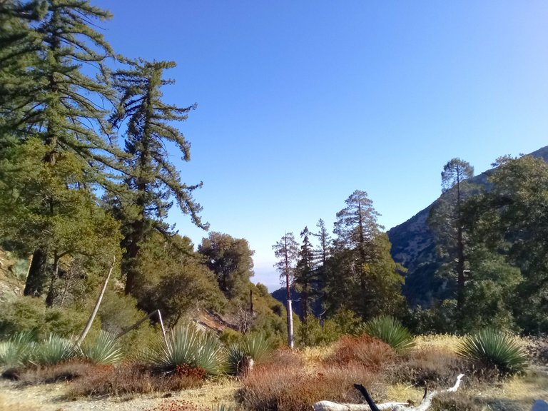
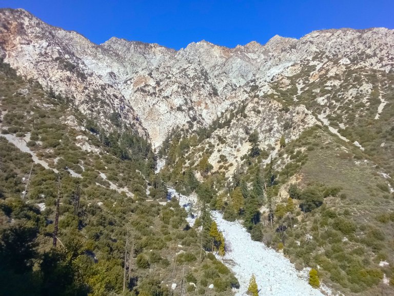
Views from Buck Point
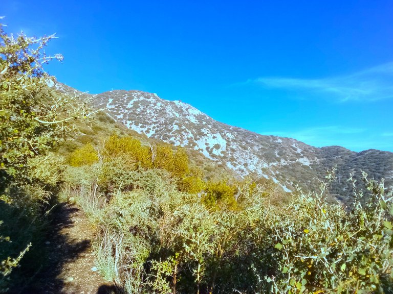
Heading down the trail
One of the sections that needed some work

Another section that needed work
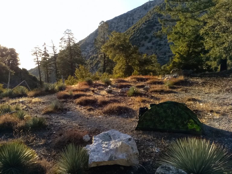
At the camp area
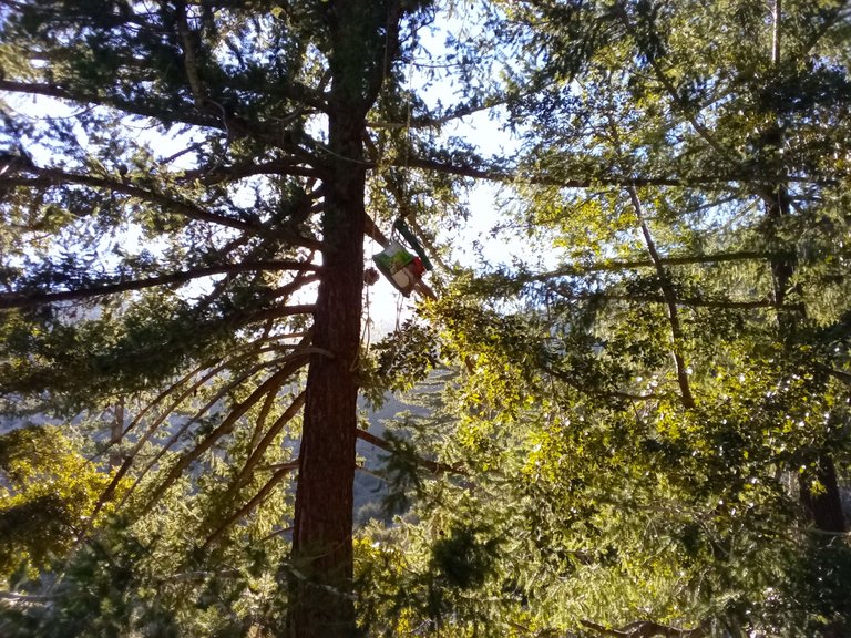
Hanging my food in a big Spruce Fir
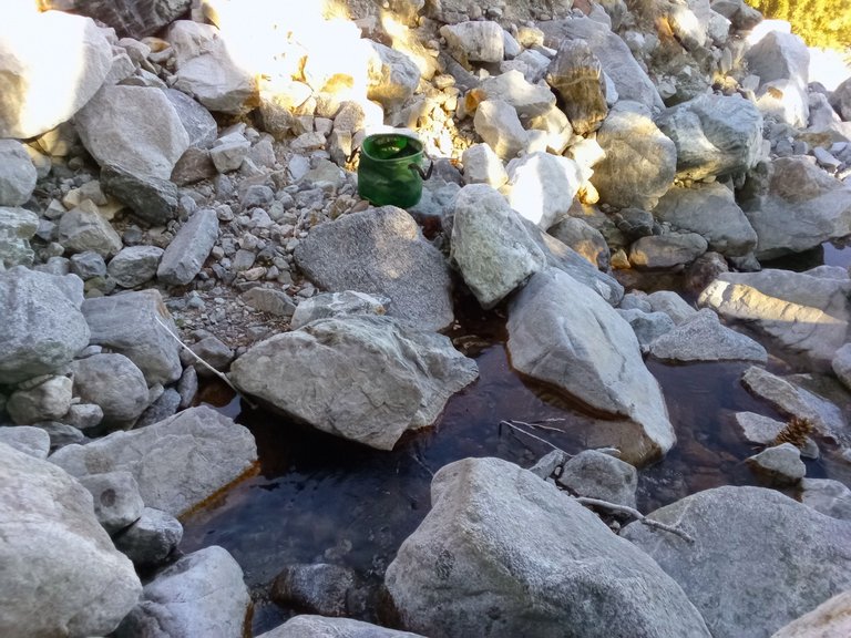
Filling my water bucket at the creek
Rock hopping up the canyon
Spring water pouring out of the cliffs
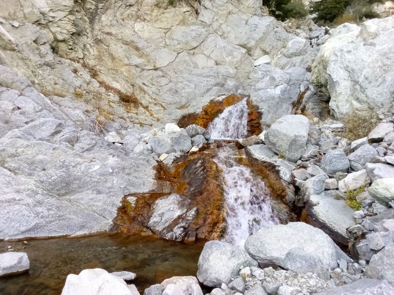
The rockslide at the springs
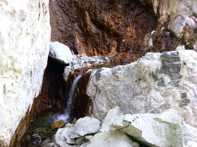
The waterfall and the newly accessible area above it
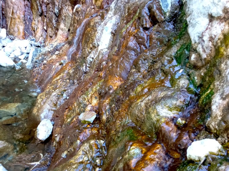
More spring water coming out of the cliffs
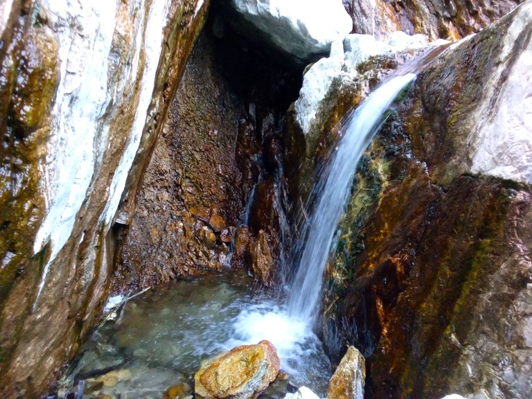
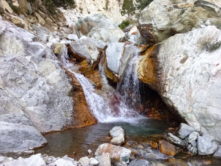
Another shot of the waterfall
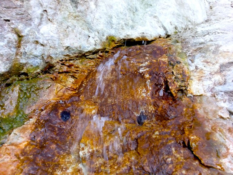
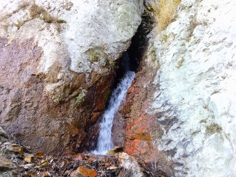
Water squirting from a crack in the rock
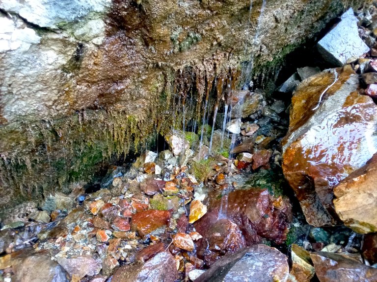
Spring water dripping out of the cliffs
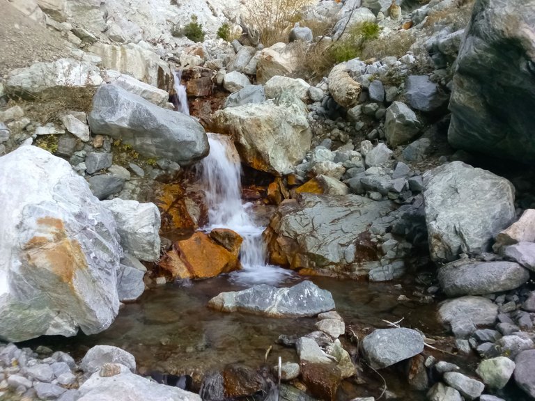
Passing waterfalls on my way back down the canyon
Back at camp
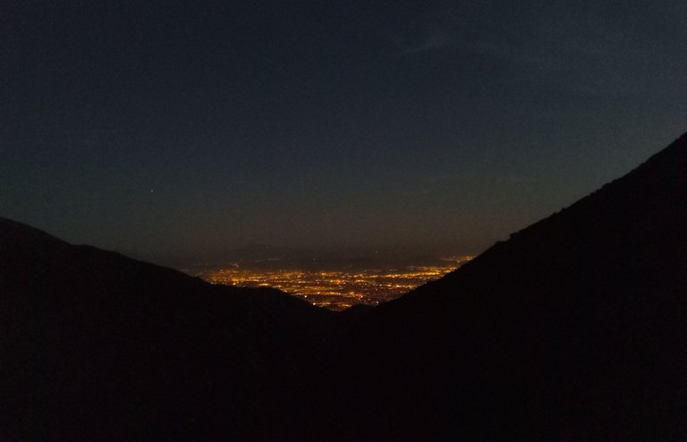
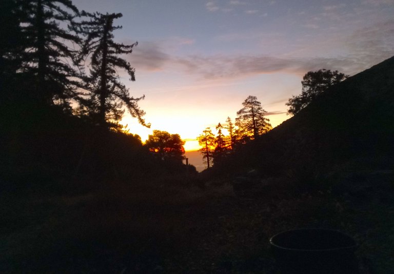
City lights
The next morning I woke up, had breakfast, and then pondered my plans for the day. I had originally been thinking about attempting to find a cross country route up to Etiwanda peak, but looking up at the possible routes was discouraging. Brush, cliffs, and scree would all be major obstacles. So instead of failing at what would've surely been a super sketchy sufferfest, I decided instead to head out the far side of the canyon and work on cutting the trail over there. I enjoyed chopping brush all morning and then at some point I was surprised to hear some voices coming my way. It was three hunters who said they were hunting for bears. They seemed like nice guys and I talked to them for a bit. While talking to them I mentioned the plane wreckage up on the slopes of Smith ridge and they decided that they wanted to climb up there and check it out. While they did that I did a bit more trail work and then headed back to camp for lunch. While having lunch the hunters came back through my camp and I talked to them again briefly before they headed back up the trail. After lunch I decided to head up the main trail as well and did more touch up work along the trail. After awhile I headed back down to camp and enjoyed another sunset, another campfire, and another pleasant night.
Sunrise
Morning at camp
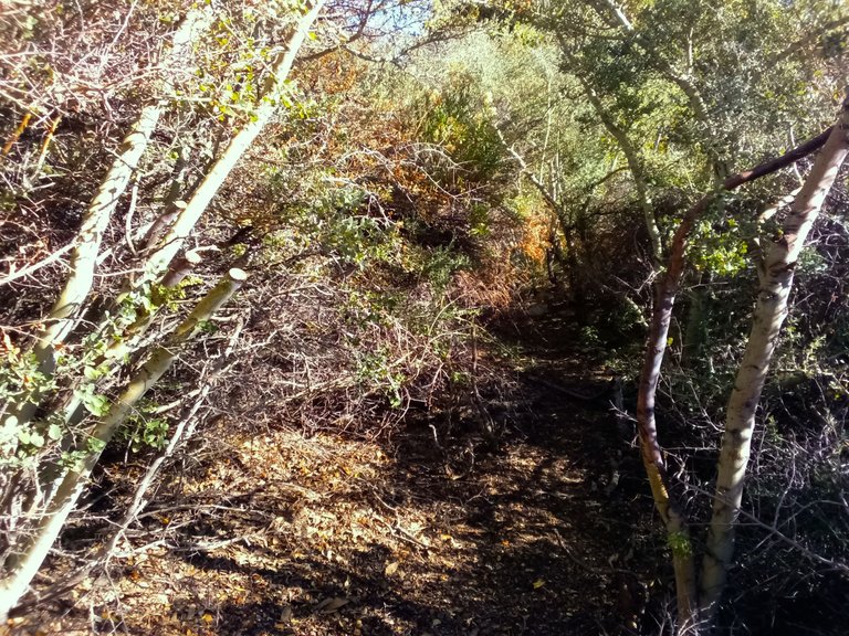
Heading out the far side of the canyon
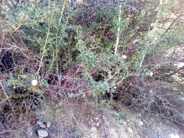
Chopping back the buckthorn
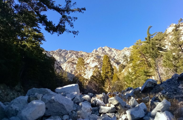
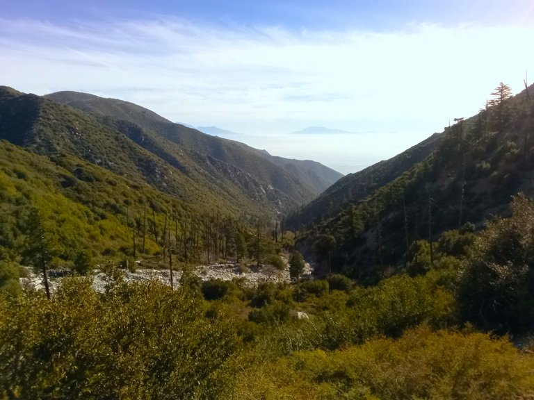
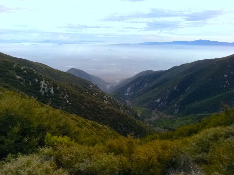
Views looking up canyon
Doing more trail work after lunch
Back at camp
On day 3 I woke up, made breakfast, got camp all packed up, and then headed back up the trail. Stopping here and there to do more trail work. I got back to the trailhead and made the long drive out. On the way out I came by a group of guys who's truck was overheating. Luckily for them I had a bunch of gallon jugs full of water which I gave them to help get them down the dirt road successfully. All in all it was a great trip to one of my favorite areas and I feel really good about the trails condition after all the trail work I was able to get done!
Sunrise
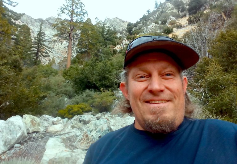
Selfie
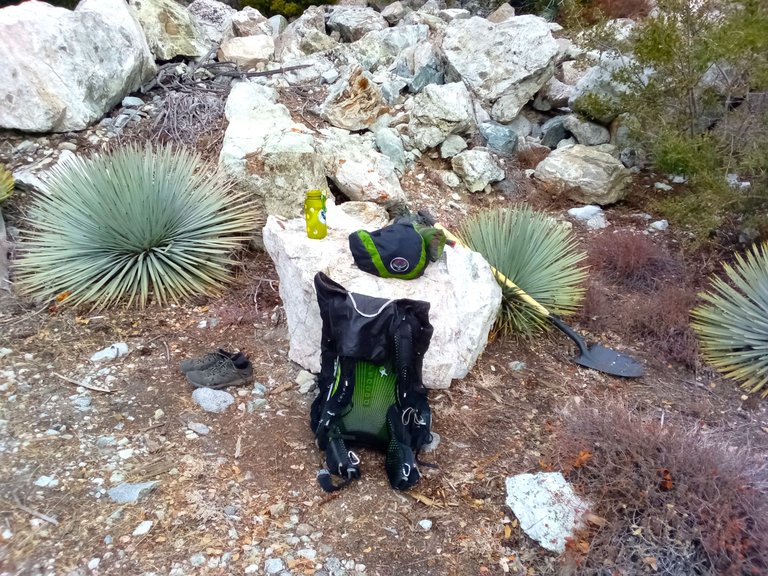
Getting packed up
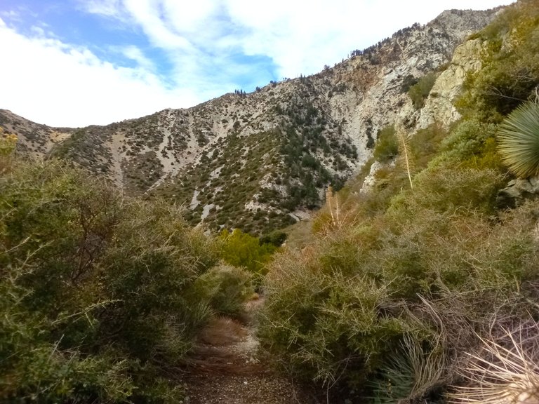
On the trail
Views from the trail
On my way out the dirt road
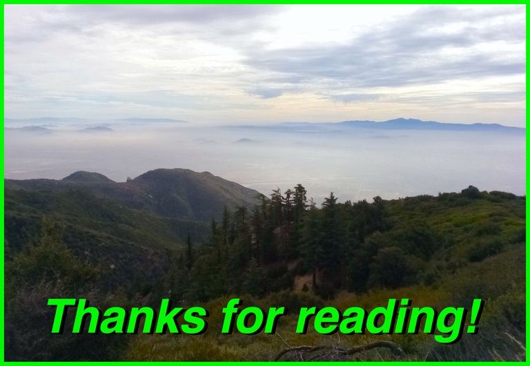
And so until next time...
I hope you have enjoyed this glimpse into
My California!!
Discord#SoCalHive is building and supporting the Hive Blockchain community in Southern California. If you are from SoCal and are into creating quality content here on Hive, we'd love for you to follow us @theSoCalHive and join our group on


World Mappin

Looks like all the water breaking out of the rocks, cause the rock slide. Speaking of water, good save with the extra water jugs.
What an awesome trip! Maintaining those trails is a lot of work, and it needs to be done yearly. You're making the hike much more pleasant for everyone else. The one constant in nature is change, the rockslide into the spring, mudslides, fires, but the one thing that remains is the beauty!
I'm glad I've never run into a bear while prospecting over the years, lots of rattlesnakes but that's about it! Did you get a chance to try your luck for any gold there?
Beautiful pictures, what a grea trip!
I still haven't tried any prospecting on this creek yet. I really should though because there could be potential there. There's gold in other nearby rivers and creeks. Next time I go up there I gotta remember to bring my pan and try some digging. Theres some nice sections of shallow bedrock that'd probably be worth checking out.
You can check out this post and your own profile on the map. Be part of the Worldmappin Community and join our Discord Channel to get in touch with other travelers, ask questions or just be updated on our latest features.
Travel Digest #2472.
Become part of our travel community:
- Join our Discord
Hiya, @lauramica here, just swinging by to let you know that this post made it into our Honorable Mentions in Your post has been manually curated by the @worldmappin team. If you like what we're doing, please drop by to check out all the rest of today's great posts and consider supporting other authors like yourself and us so we can keep the project going!