Namaste Ji 🙏
Hope you all are doing great!!!
It was a warm sunny day in Jobra Campsite and we were having the time of our lives being there. We had a whole day ahead of us and we needed to go somewhere to explore something new and get back to our camp by evening.
There multiple options in front of us. First one being hiking to Balu Ka Ghera campsite. We rejected that option because Balu Ka Ghera campsite was quite far away from Jobra Campsite and as Balu Ka Ghera campsite in also in middle of the valley, we wouldn’t be able to see a great view that we usually see from a mountain peak.
The second option was to explore a peak that we could see from Jobra Campsite. We decided to climb on the peak as we thought the view from the top would be amazing!!!
Deciding which peak to climb—
There were two options available for us to choose from. Although they both were on the same mountain but we still needed to decide where we wanted to go. The first option was not the true summit of this mountain but looked easy to reach and climb.
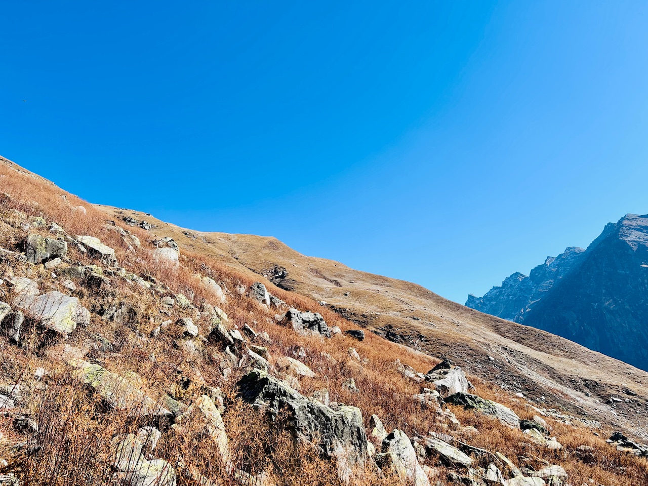
The second option looked like the summit of the mountain but looked quite far away and also a little more difficult to climb than the first option. We decided to climb towards option 1 first and see from there if we could reach the actual summit.
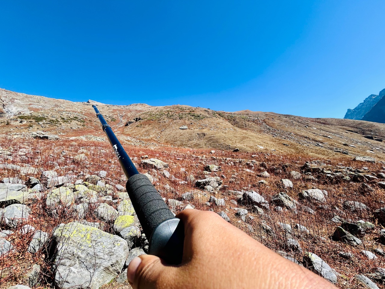
The Expedition Begins—
We decided to approach this climb by hiking diagonally towards right and then slowly move leftwards. Although it looked really close and easy to climb, in reality it was really far. At that time due to lack of network, I could make out the distance myself but I later checked that it was 3 kms till the first option and the peak was more than 6 kms away with elevation gain of 1500-2000 meters. That’s how you get fooled in the mountains as there is nothing you can scale the distance with.
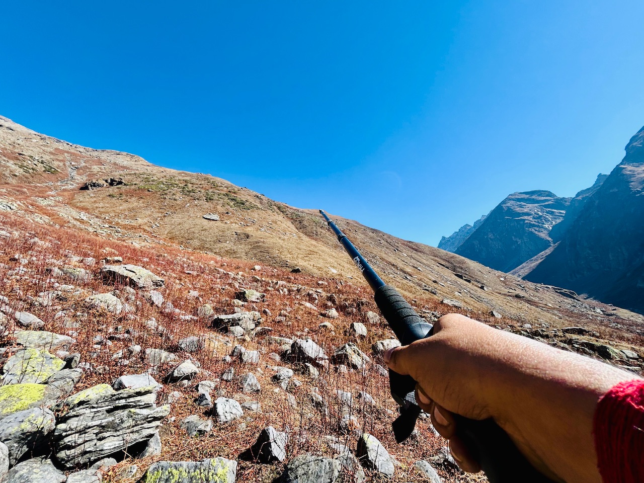
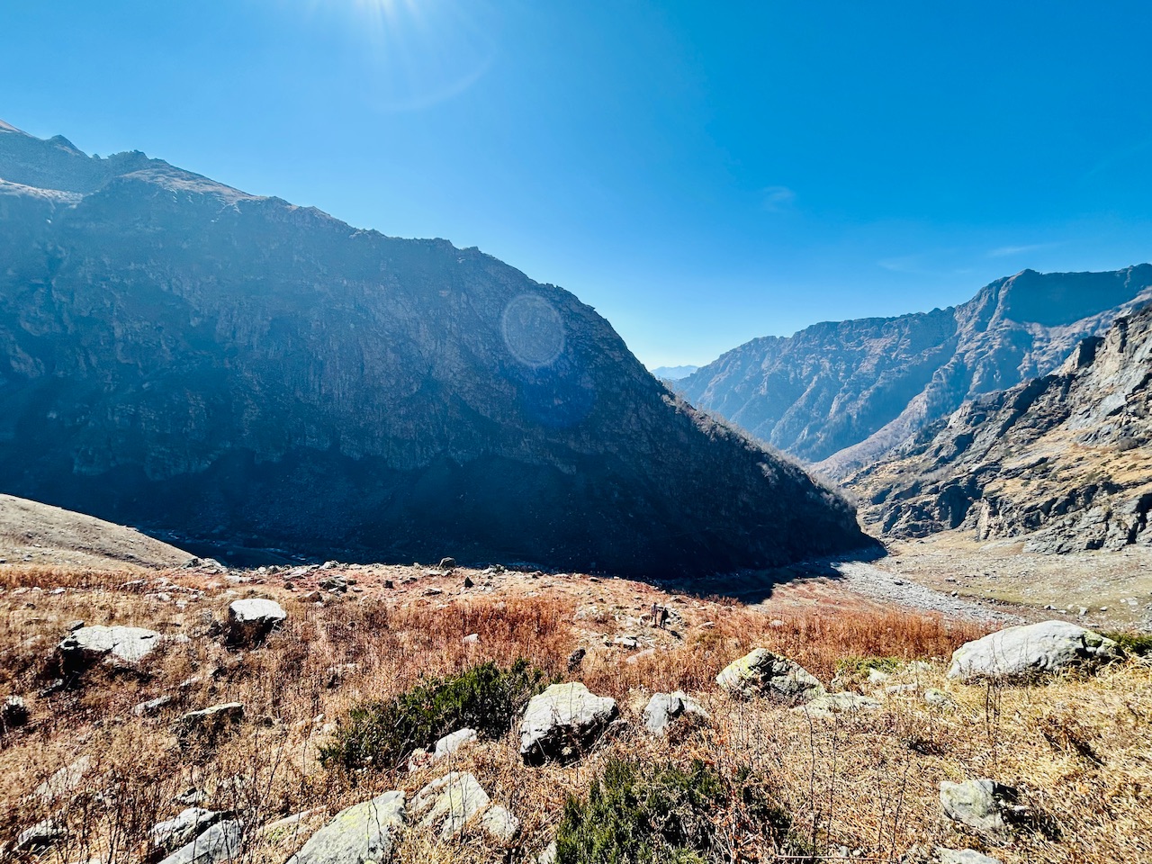
We started our hike as planned and slowly started moving rightwards. After a gradual elevation gain for about 20 minutes, I looked back towards where we started from and took this photograph. It was going to be a long hike I realised as while looking back, it didn’t look like we hiked a lot of distance.
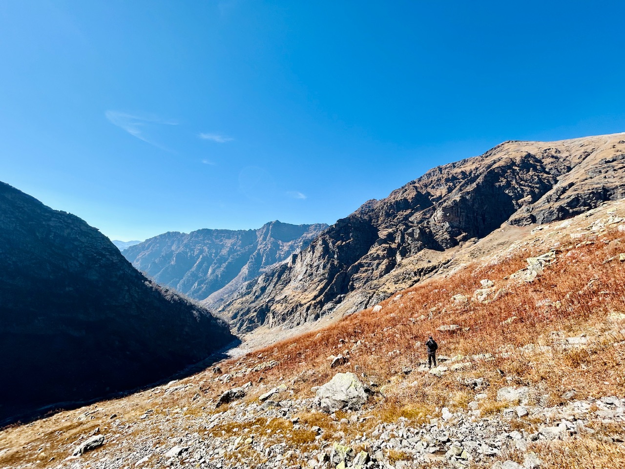
You can probably scale the terrain out by the above photograph as my brother is in that photo for reference and comparison. Just see how tiny he looked in the mountain.
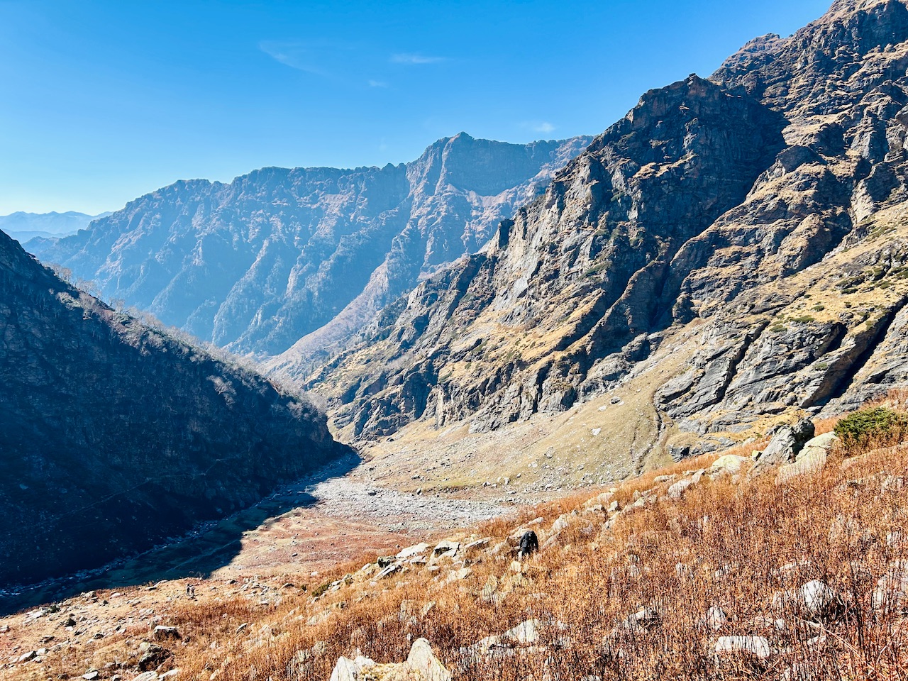
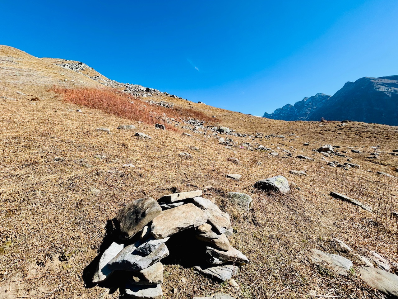
The mountain was full of these red coloured bushes that looked really tiny when viewed from distance but in reality they were easily half my height or sometimes even more than my height.
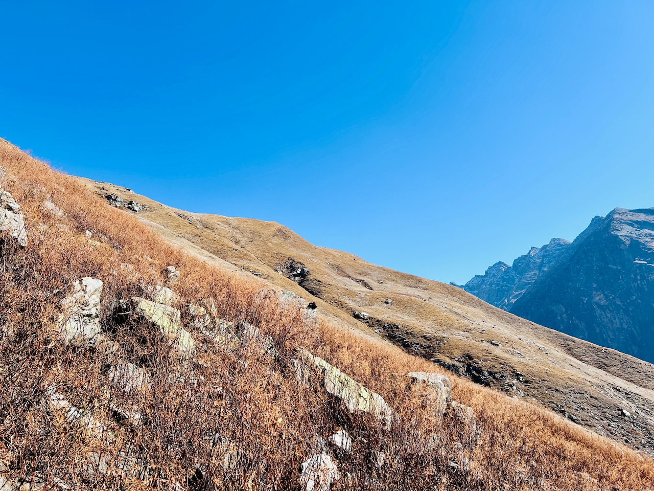
I didn’t took a lot of photos as we didn’t wanted to loose our pace and also there was nothing much that was changing in what we were seeing even after hiking for another half an hour.
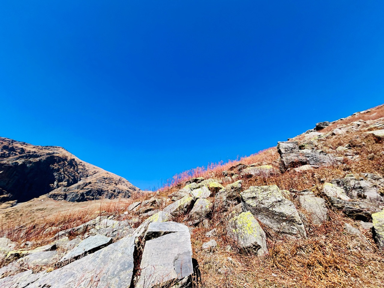
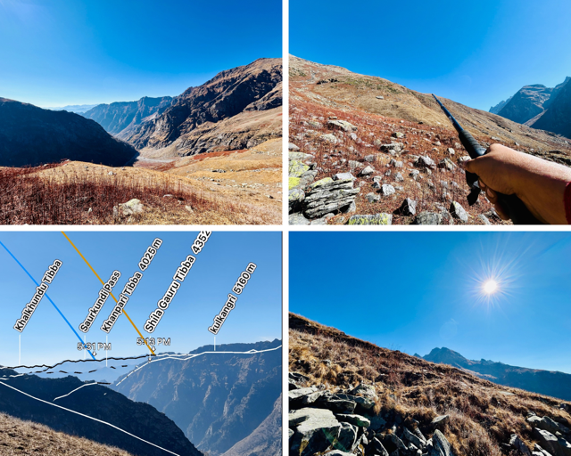
After climbing for an hour and reaching the rightward area of the mountain where were initially decided to go, we saw some high altitude peaks. Indrasan, Deo Tibba and Inderkilla were clearly visible now and they were looking majestic.
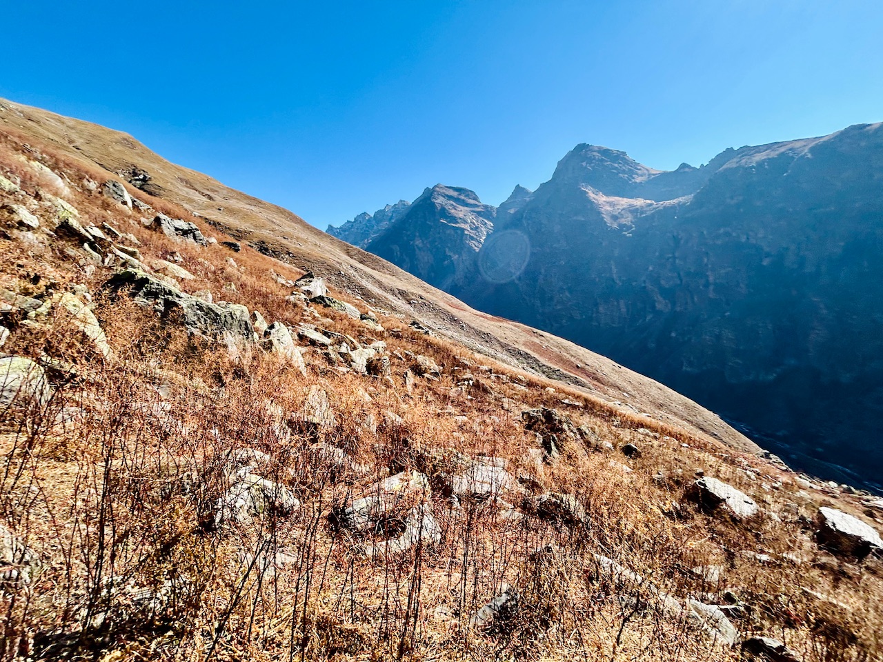
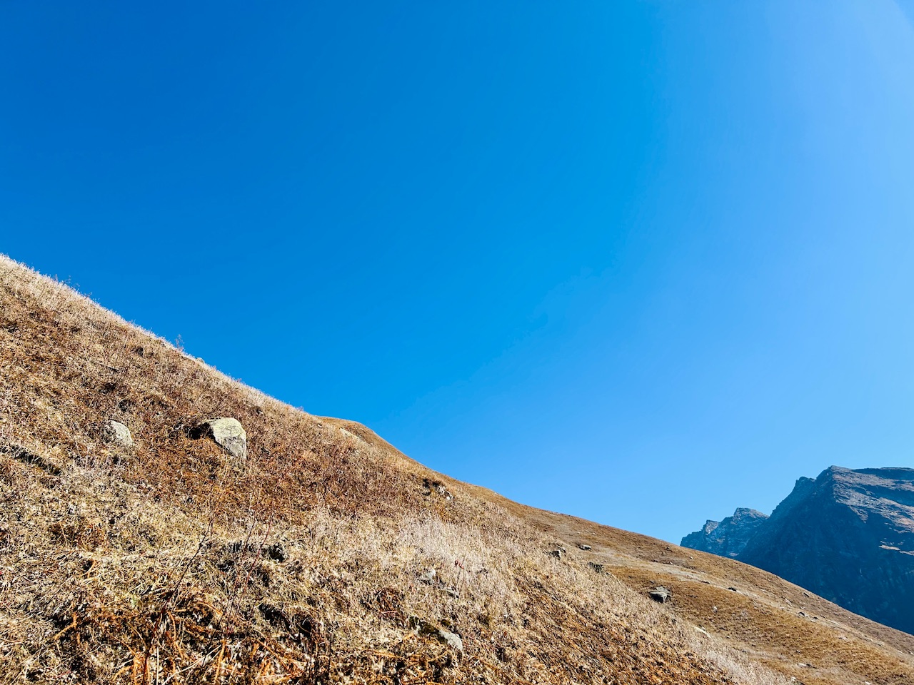
We were about to reach the our first checkpoint but there was one major challenge. There was a huge crack between us and our destination.
Crossing the crack—
The crack was about 2-3 meters deep and 5-7 meters wide with huge rocks which made it really difficult to cross. In winter time, this crack would convert to a huge crevasse that would make it impossible to cross. We decided to bypass it by climbing on top of it but it’s too was not visible. It meant that we needed to climb for maybe another 30 minutes.
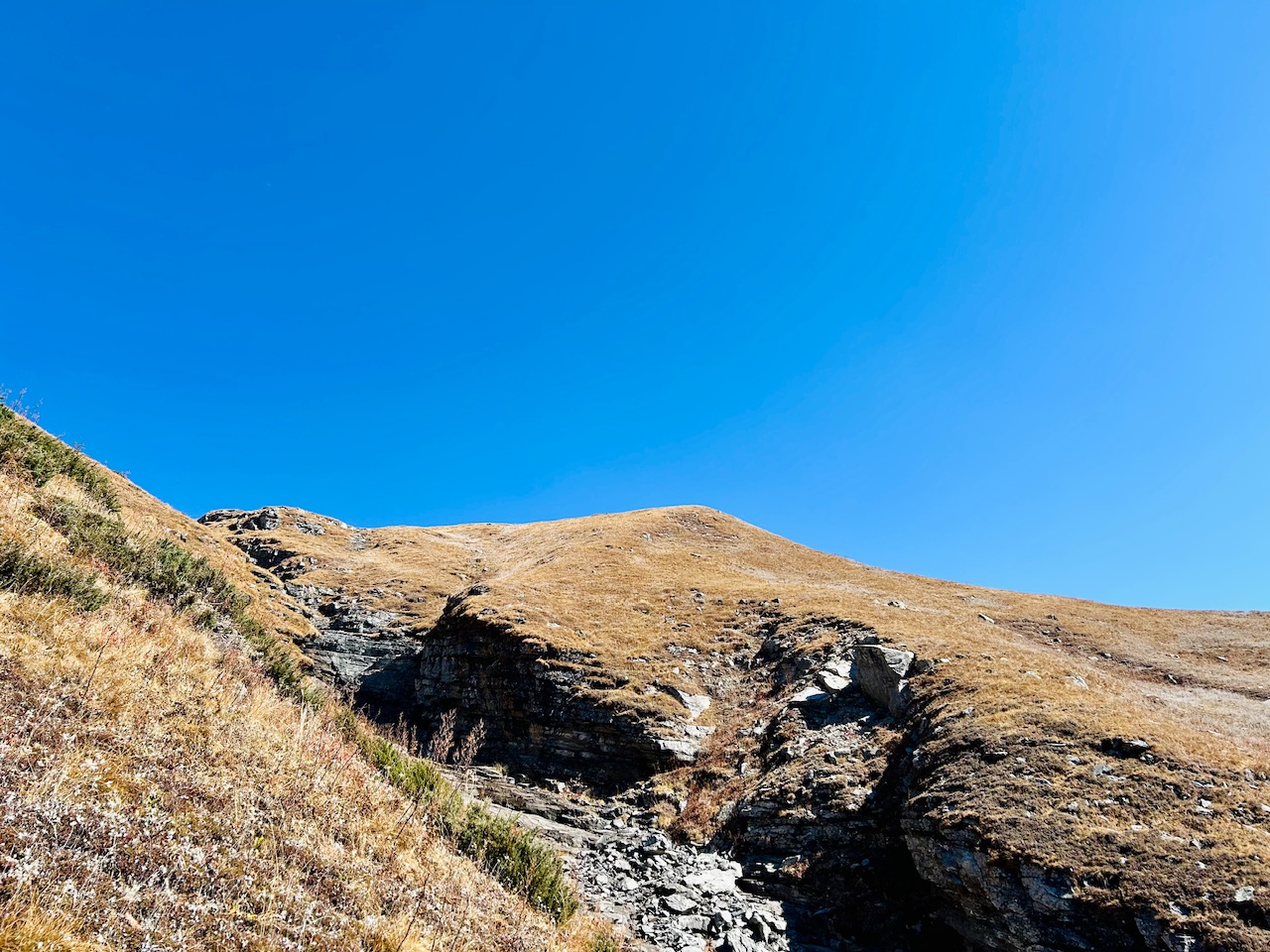
Upon moving a little further, we found that the crack was originating from top of the mountain only and it would be a foolishness to climb such a long distance just to cross it therefore we looked for a place from where we could cross it and luckily we found just the spot we were looking for.
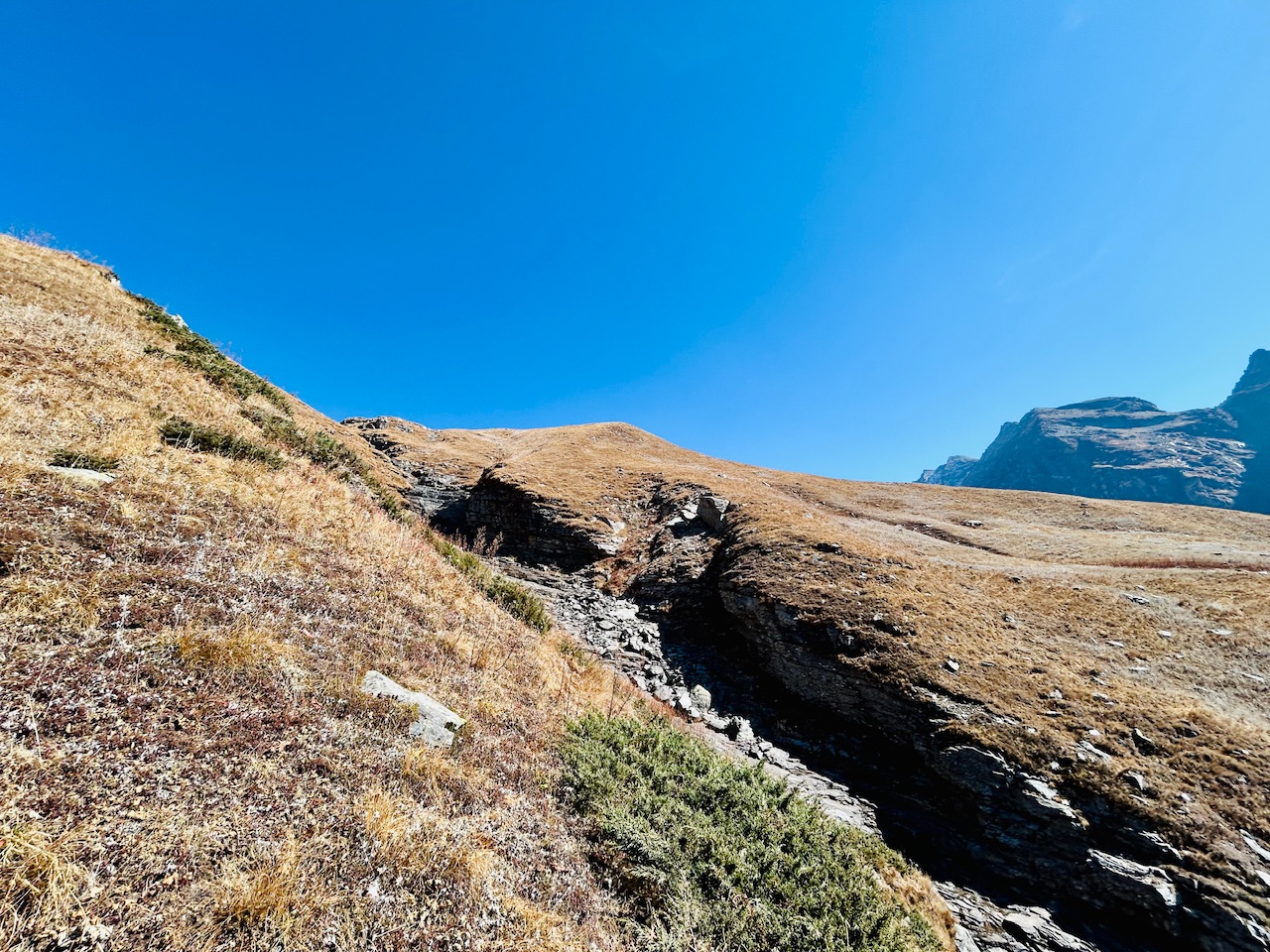
The spot was a lot flatter than the rest of the crack and it was not that deep too so we could cross it easily so we slowly approached towards it.
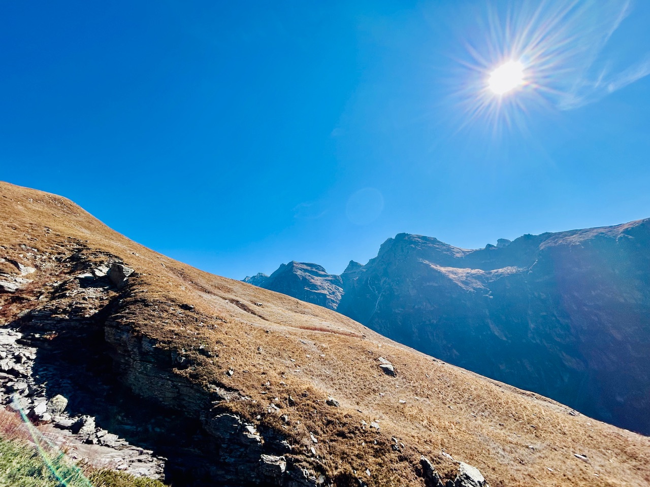
We were at around 3800m now and we could feel it too. We were feeling shortness of breath and were tired easily. We somewhat lost our pace.
Reaching point 1–
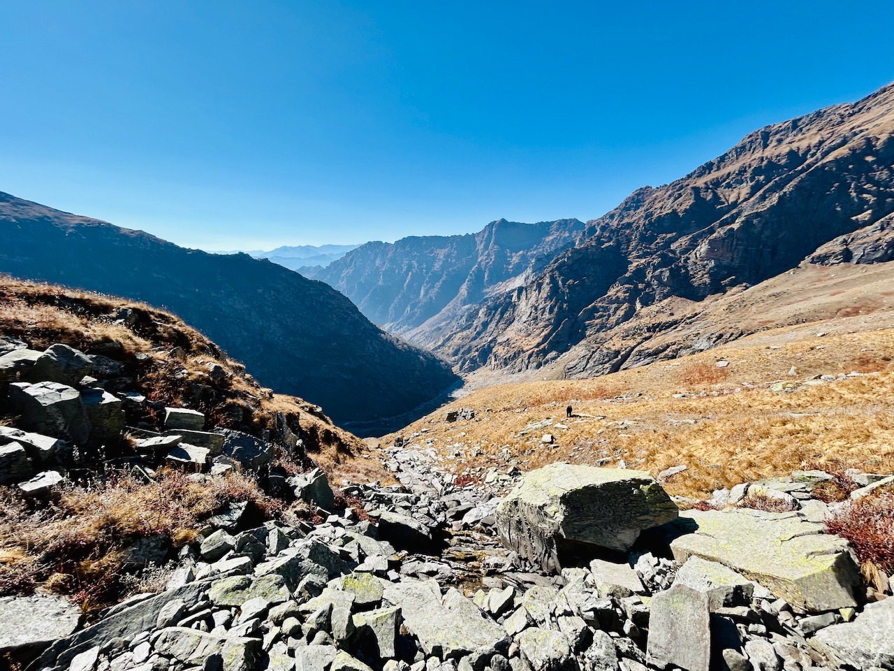
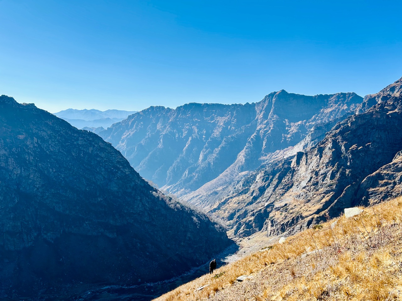
Now we were almost at point one. It was the place which we pointed out when we were at Jobra Campsite. We reached there after a staggering hike of one and a half hour. We gained about 500m of elevation and we could see the bird eye view of the valley now.
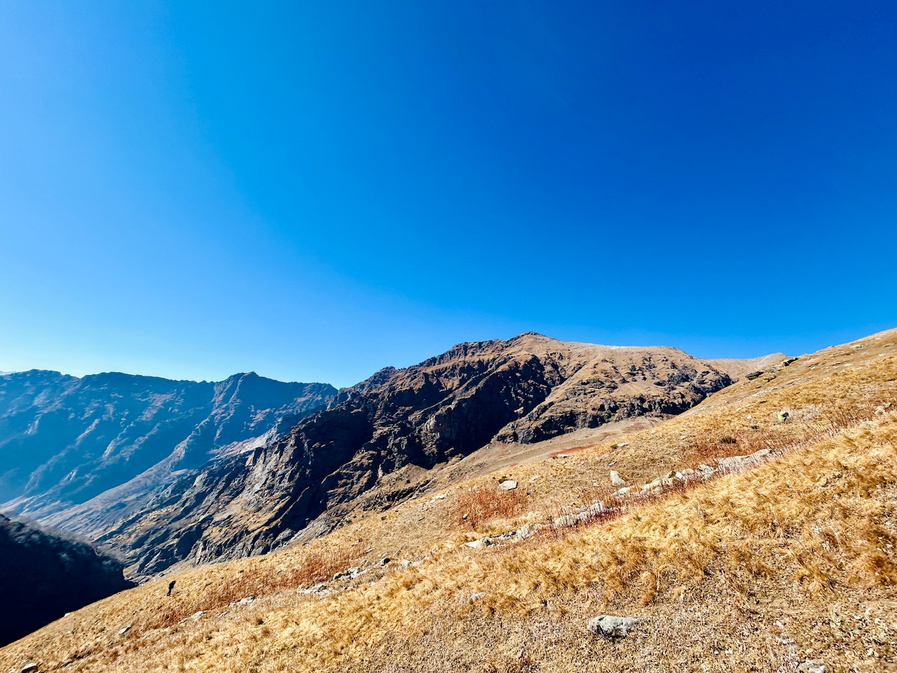
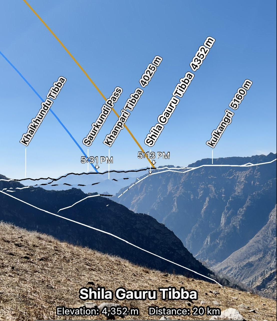
We could also see a lot peaks from there now. I am attaching the screenshot below of the peak visor app that I use.
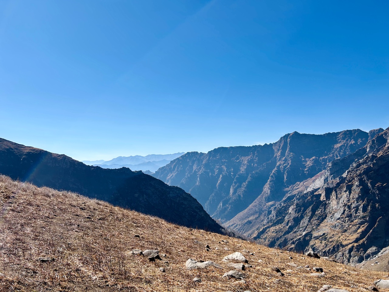
We previously thought that this mountain could be unclimbed but to our surprise we found traces of shepherds there. It looked like shepherds used to stay there in probably summers or monsoon.
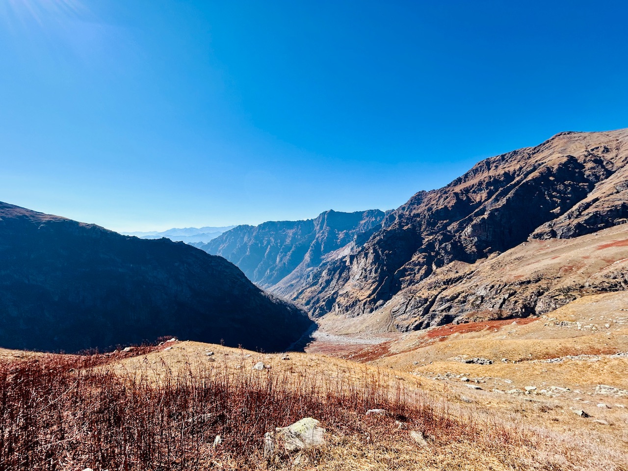
Our next plan was to head leftwards and reach the summit of this peak. We were running out of time as it was already 2 PM and we needed to get back to our camps too. Here three of us decided to stay at point one only while me and my brother tried to climb the summit in an hour. Our plan was to come back in an hour in any case and for the time being my cousins would wait for us in point 1.
I will write about our experience of summit push in next blog.
That’s all for today.
Peace ☮️

Travel Digest #2385.
Become part of our travel community:
- Join our Discord
Hiya, @lauramica here, just swinging by to let you know that this post made it into our Honorable Mentions in Your post has been manually curated by the @worldmappin team. If you like what we're doing, please drop by to check out all the rest of today's great posts and consider supporting other authors like yourself and us so we can keep the project going!Thanks 🙏 It means a lot 🙏
Keep up the great work 💪
Discord Server.This post has been manually curated by @steemflow from Indiaunited community. Join us on our
Do you know that you can earn a passive income by delegating to @indiaunited. We share more than 100 % of the curation rewards with the delegators in the form of IUC tokens. HP delegators and IUC token holders also get upto 20% additional vote weight.
Here are some handy links for delegations: 100HP, 250HP, 500HP, 1000HP.
100% of the rewards from this comment goes to the curator for their manual curation efforts. Please encourage the curator @steemflow by upvoting this comment and support the community by voting the posts made by @indiaunited.
Thanks for your support
Wow climbing this place must be such an awesome experience!!!💯
Yess, it was. Thanks for passing by!
You can check out this post and your own profile on the map. Be part of the Worldmappin Community and join our Discord Channel to get in touch with other travelers, ask questions or just be updated on our latest features.