Zdjęcia wykonałem w kwietniu zeszłego roku w dzielnicy Aker Brygge w Oslo. Aker Brygge jest punktem pośrednim dla osób, które chcą się dostać na leżące na fiordzie wyspy lub na półwysep Nesodden. Ja miałem akurat coś do załatwienia na Nosodden i mając niemal godzinę oczekiwania na prom postanowiłem zrobić trochę zdjęć.
I took these photos in April last year in the Aker Brygge district in Oslo. Aker Brygge is a stopover point for people who want to get to the islands in the fjord or to the Nesodden peninsula. I had something to do on Nosodden and having to wait almost an hour for the ferry I decided to take some photos.
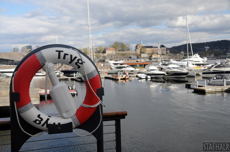
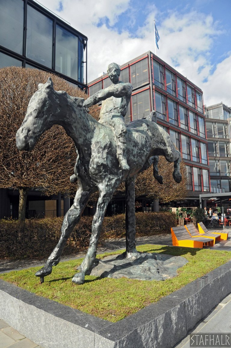
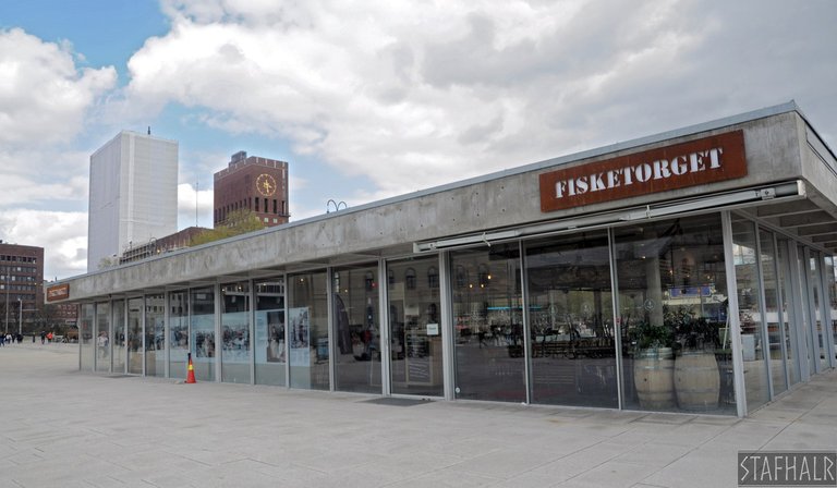
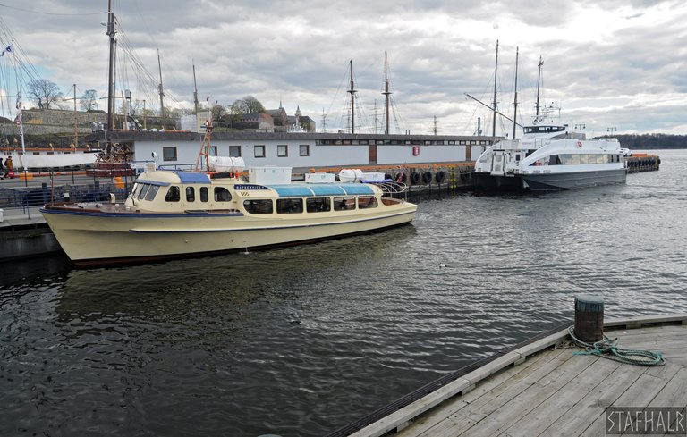
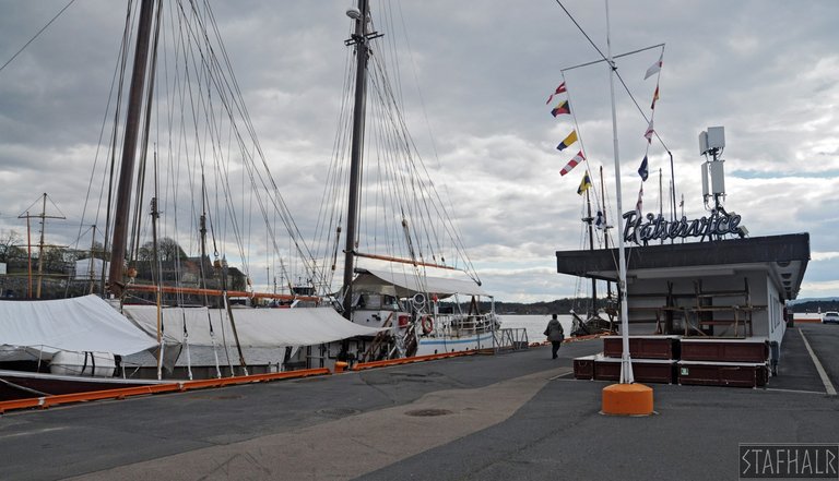
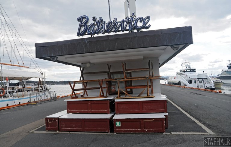
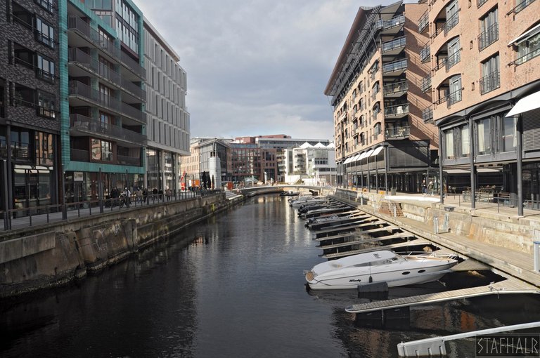
Akker Brygge jest miejscem mocno turystycznym, znajdują się tutaj liczne kafejki i restauracje, z których niektóre znajdują się na przycumowanych do brzegu statkach. Jest tam też stary i chyba kultowy sklep rybny oraz przystań jachtowa. Wzdłuż fiordu prowadzi długi, częściowo drewniany deptak.
Akker Brygge is a very touristy place, there are many cafes and restaurants here, some of which are located on ships moored to the shore. There is also an old and probably iconic fish shop and a marina. A long, partially wooden promenade (boardwalk?) runs along the fjord.
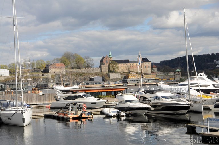
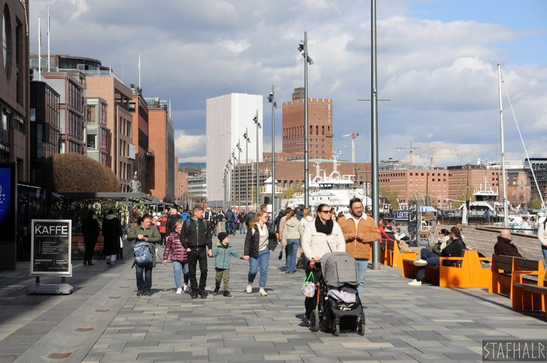
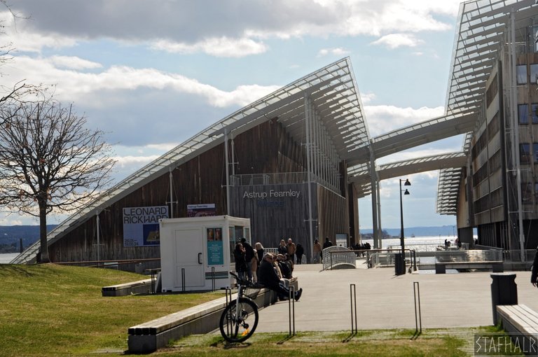
Deptakiem można bardzo szybko dojść do muzeum sztuki nowoczesnej Astrup Fearnley Museet, chociaż właściwie to jest już Tjuvholmen, ale te dzielnice w praktyce traktuje się jak jedno.
The promenade can be used to quickly reach the Astrup Fearnley Museet museum of modern art, although it is actually Tjuvholmen, but in practice these districts are treated as one.
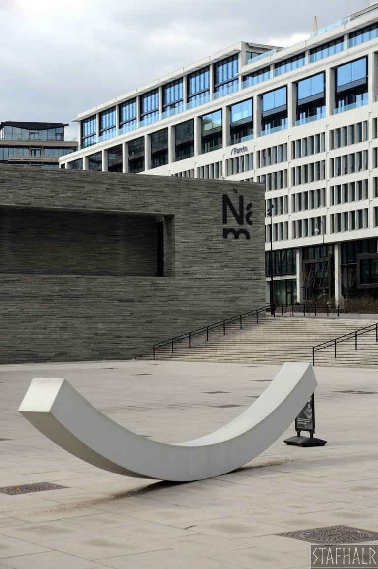
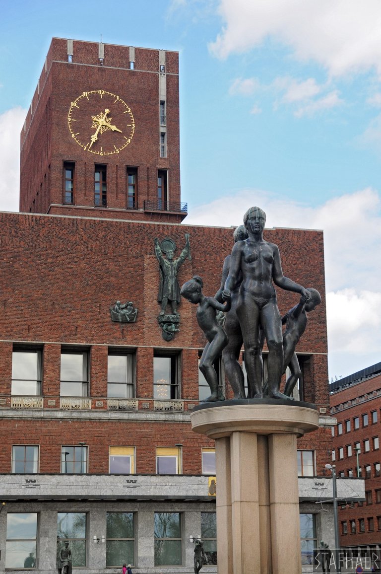
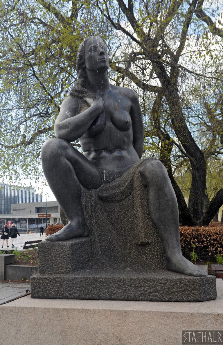
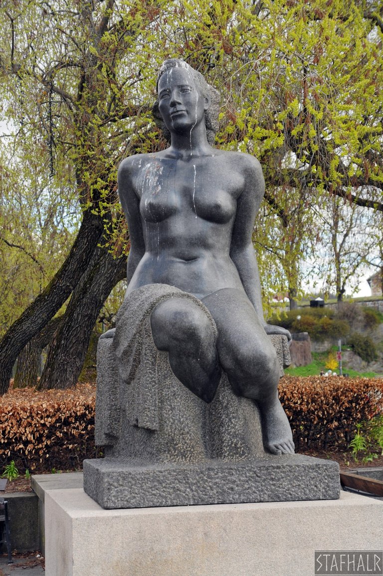
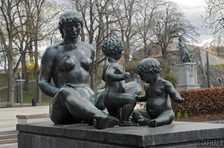
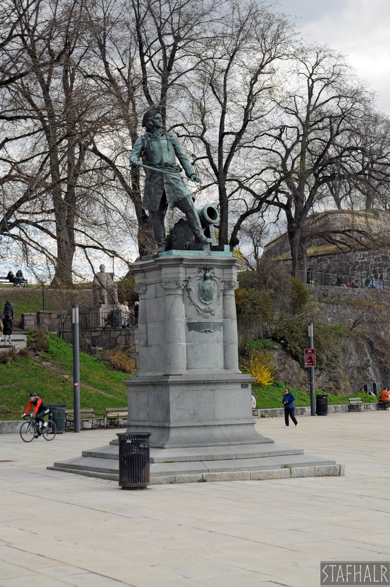
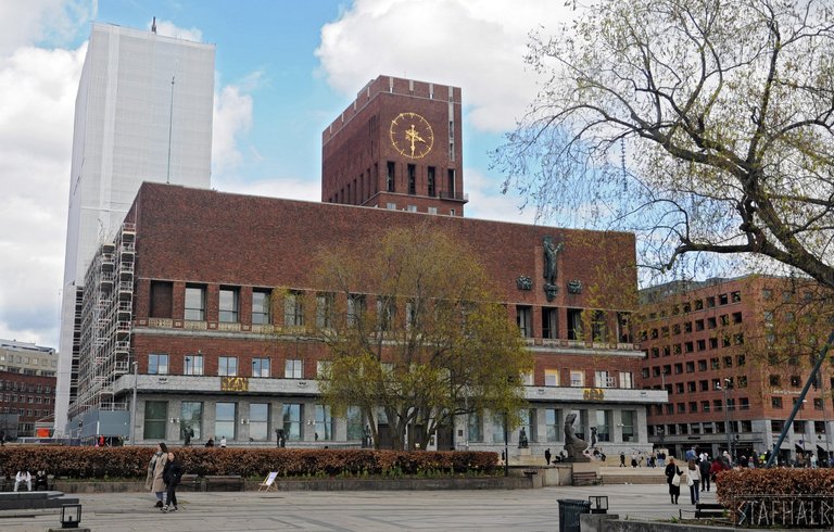
Z drugiej strony, czyli od lądu, graniczy z Aker Brygge Muzeum Narodowe (Nasjonalmuseet). A za nim znajduje się Plac Ratuszowy (Rådhusplassen) z licznymi rzeźbami i statuami wykonanymi przez norweskich artystów. Czerwony budynek w tle to właśnie Ratusz, zbudowany w latach 1931-1950 i będący siedzibą władz Oslo.
On the other side, i.e. from the land, the National Museum (Nasjonalmuseet) borders Aker Brygge. And behind it is the City Hall Square (Rådhusplassen) with its many sculptures and statues made by Norwegian artists. The red building in the background is the City Hall, built between 1931 and 1950 and the seat of Oslo's government.
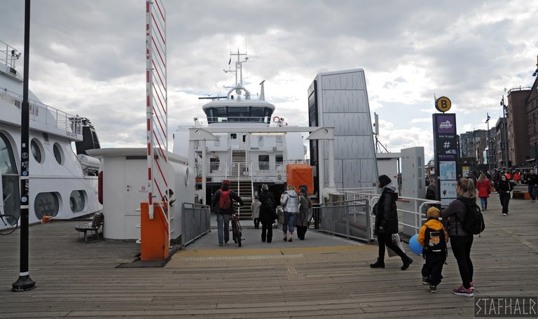
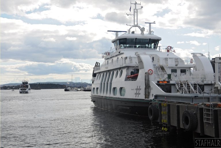
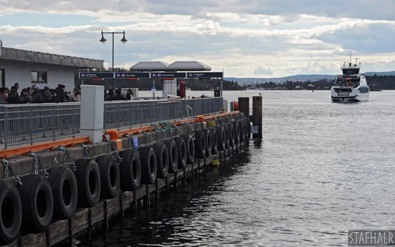
Promami odpływającymi z Aker Brygge podróżuje się na podstawie zwykłego, uniwersalnego biletu miejskiego, przy czym w zależności od destynacji może być wymagany bilet wielostrefowy.
Ferries departing from Aker Brygge are travelled with a regular, universal city ticket, although a multi-zone ticket may be required depending on the destination.
All photographs © Stafhalr 2024
[//]:# ([//]:# (!worldmappin 59.91050 lat 10.72931 long Aker Brygge - Stafhalr d3scr))
You can check out this post and your own profile on the map. Be part of the Worldmappin Community and join our Discord Channel to get in touch with other travelers, ask questions or just be updated on our latest features.
@tipu curate 8
Upvoted 👌 (Mana: 0/68) Liquid rewards.