Welcome to the next episode of photo-series dedicated to hiking adventures. This time I will take you for a winter hike in my beloved Jeseníky mountains (Czechia). How was it? Well, it was fabulous as always. Trails were skiddy, I met game animals, jumped over the Cold brook, photographed an old army truck, visited a shaft, had top weather, and least but not last I was chasing sunset. Enjoy 44 photos and one video captured that day😉
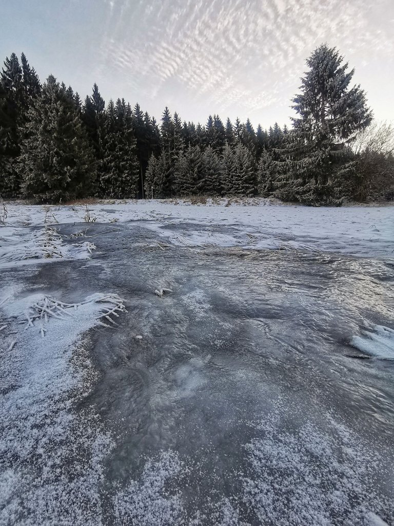
7 am, chilly in the early morning, near the village Klepáčov (825m). Must be double careful on these random frozen streams.
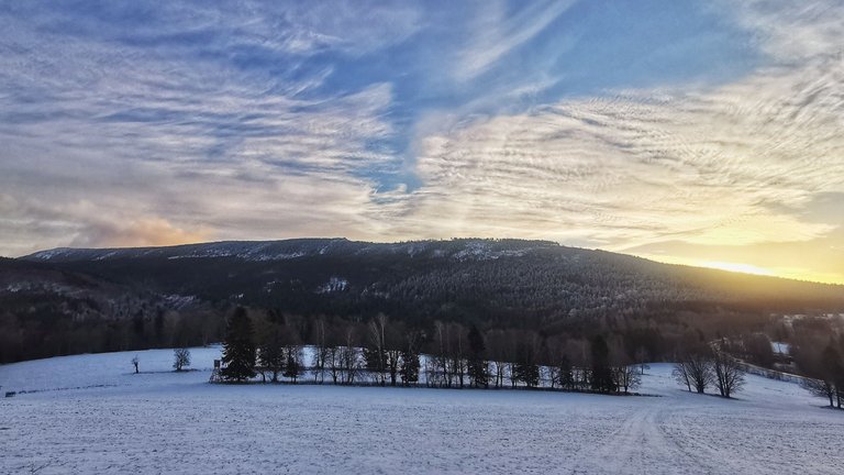
Sun is rising. Looks like today it's gonna be lovely day. The mountain ridge in the photo, my itinerary shows I should be walking there in ~9 hours. We will see how it goes😀
That tiny hump in the middle of this shot, that is rock formation Lost Stones (1250m).
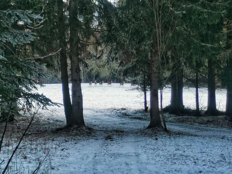
A herd of female/roe deer. They noticed me too.
This is where they feast (metaxa).

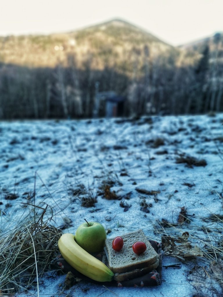
Now my feast.
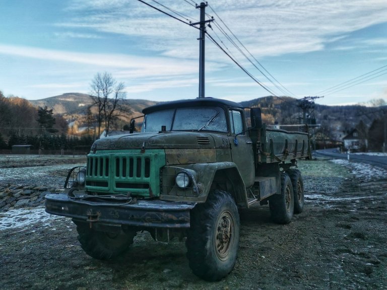
An old good Soviet army truck, ZIL-131, which you can admire in Vernířovice. I wonder if it is still operational.
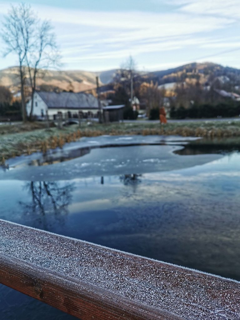
Semi-iced pond in the same village.
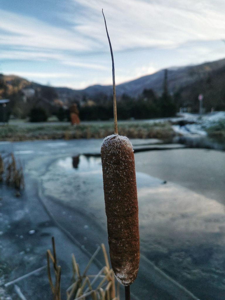
A frostbitten spike of cattail.
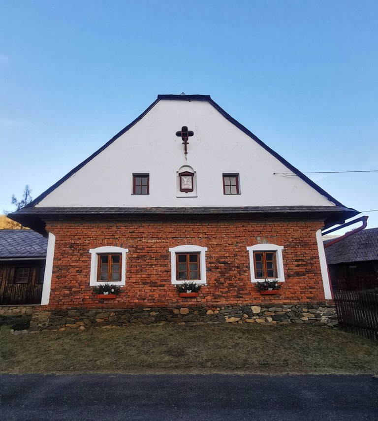
An impressively renovated rural house.
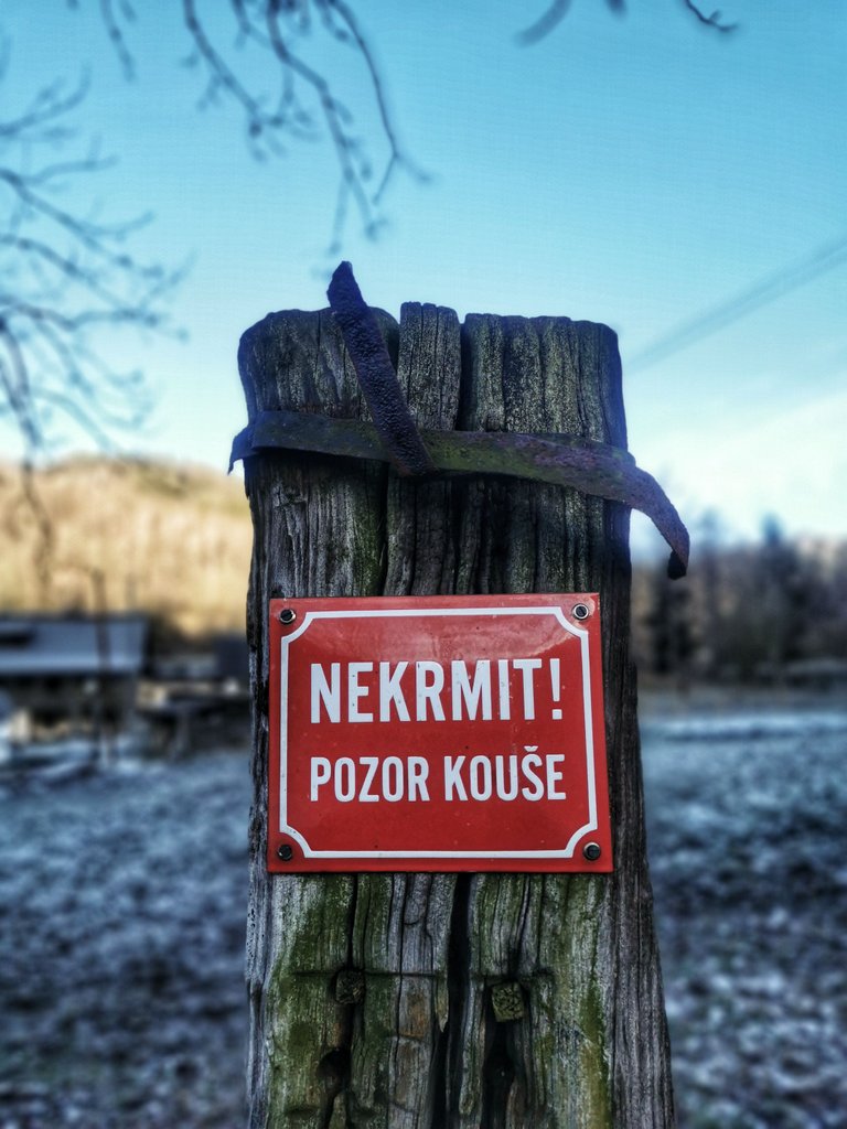
Careful! Do not feed (the animal I guess), it may bite you😀
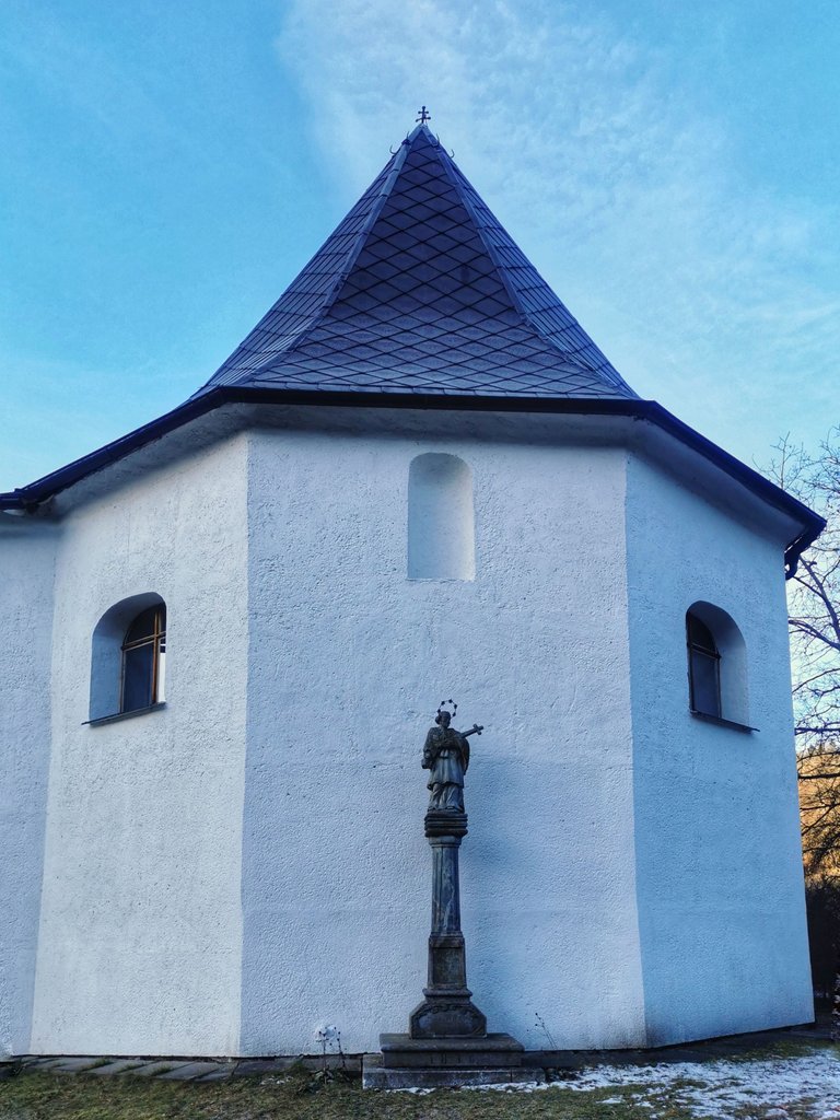
Church of Saint Matthew.
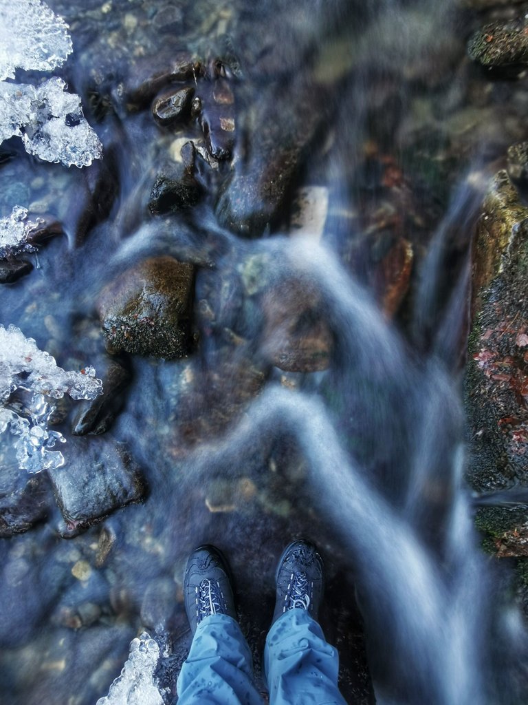
Already left the village. Literally jump across the brook, named Cold.
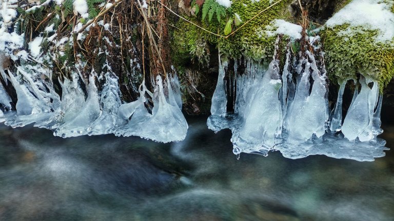
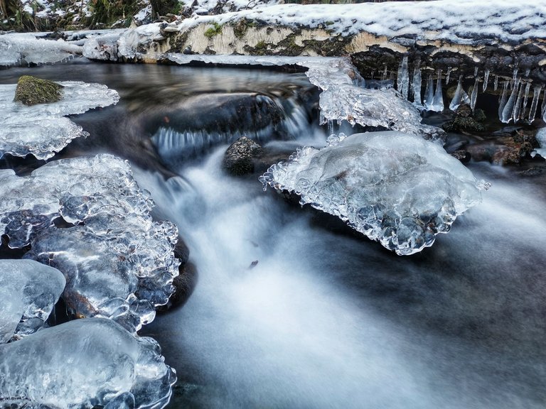
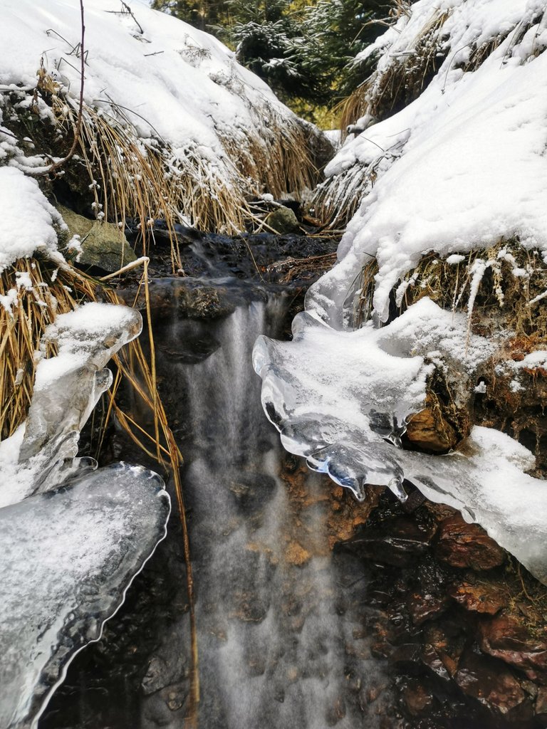
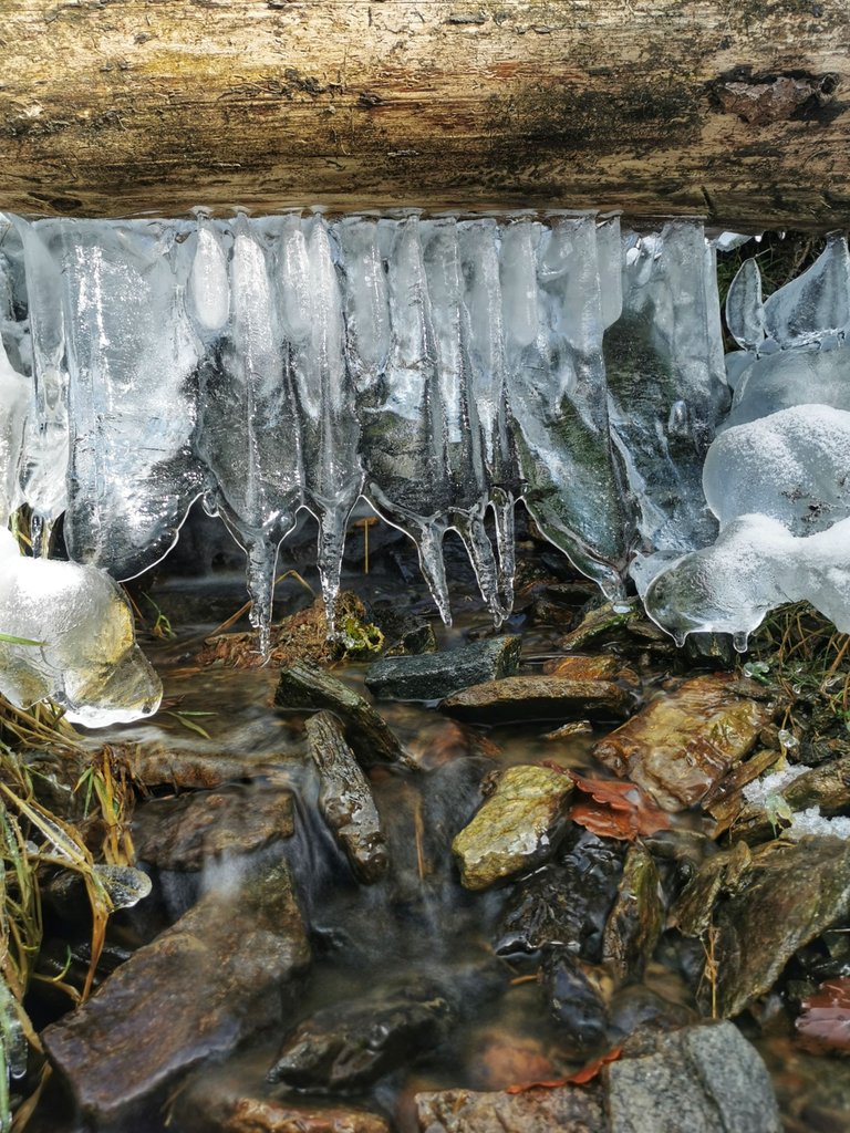
Cannot miss this fragile ice-cold beauty.
Now I am passing by an eco educational center, Švagrov. How to translate it, tough one. Perhaps a place of Brothers-in-law😃

An exploratory drift dug back in ~1953. Nowadays inhabited by bats. Let's take a look inside!
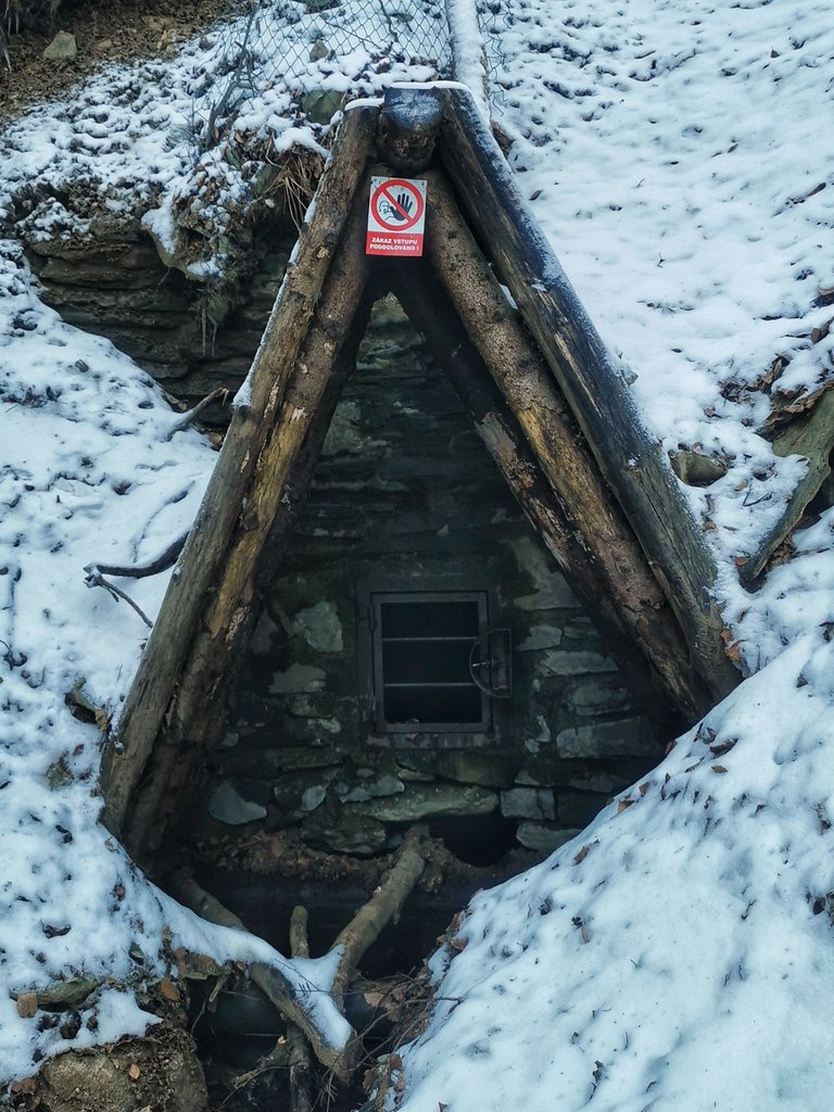
Nearly 350m long. If there were no bars, one would keep exploring it further.

No one is here (only me, spoors and droppings). No wonder, I took shortcut towards the slope with no marked path.
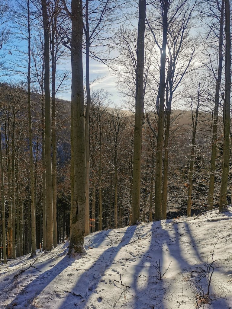
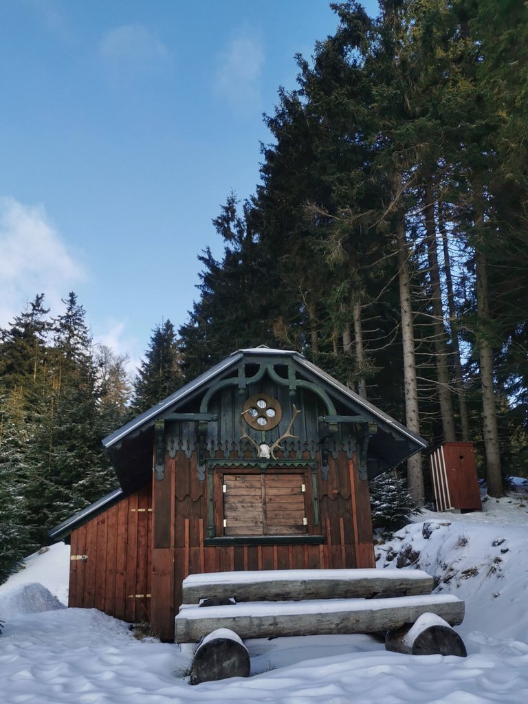
Undocumented private cabin, true hidden gem (sadly, with locked latrine).
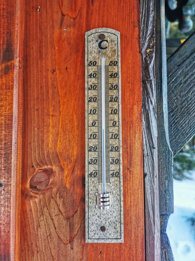
Slightly below zero, almost high noon.
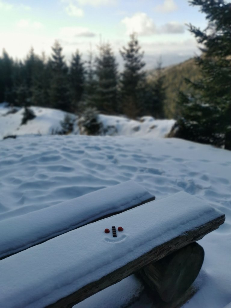
A seating by the cabin.
Near here...
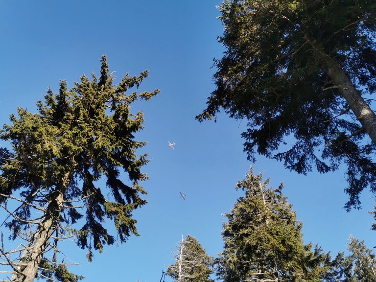
Air race?
Just climbed up the mountain Mravenečník (Anteater; 1343m). Lovely views today! The mountain ridge on the opposite side? Will be there shortly😊
By the way, do you see the white line above the ridge? That is contrail left by those small planes flying above mountains when the weather is nice like today.
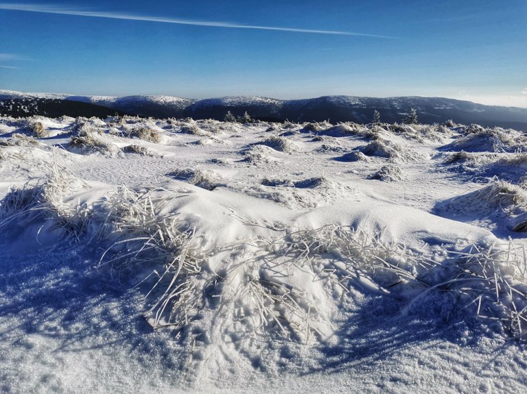
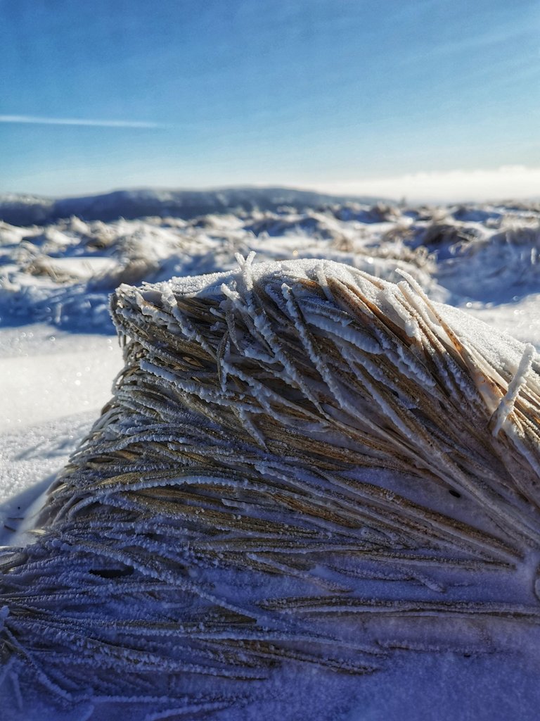
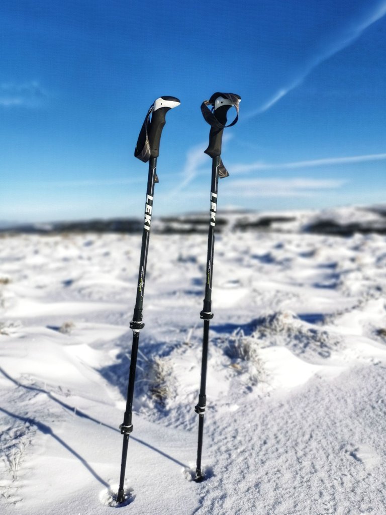
Even trekking poles need a rest.
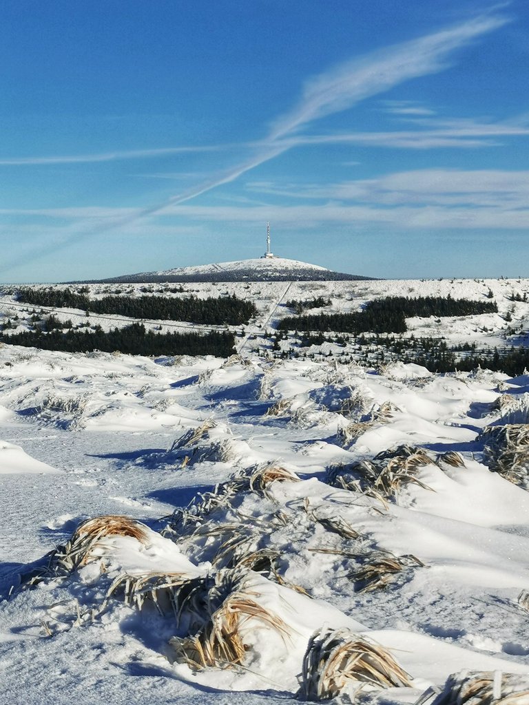
The Praděd mountain (1491m). With its communications tower it is considered the highest point of Czechia (~1637m).
Views towards Hanušovice highlands. Today's low clouds are just splendid!
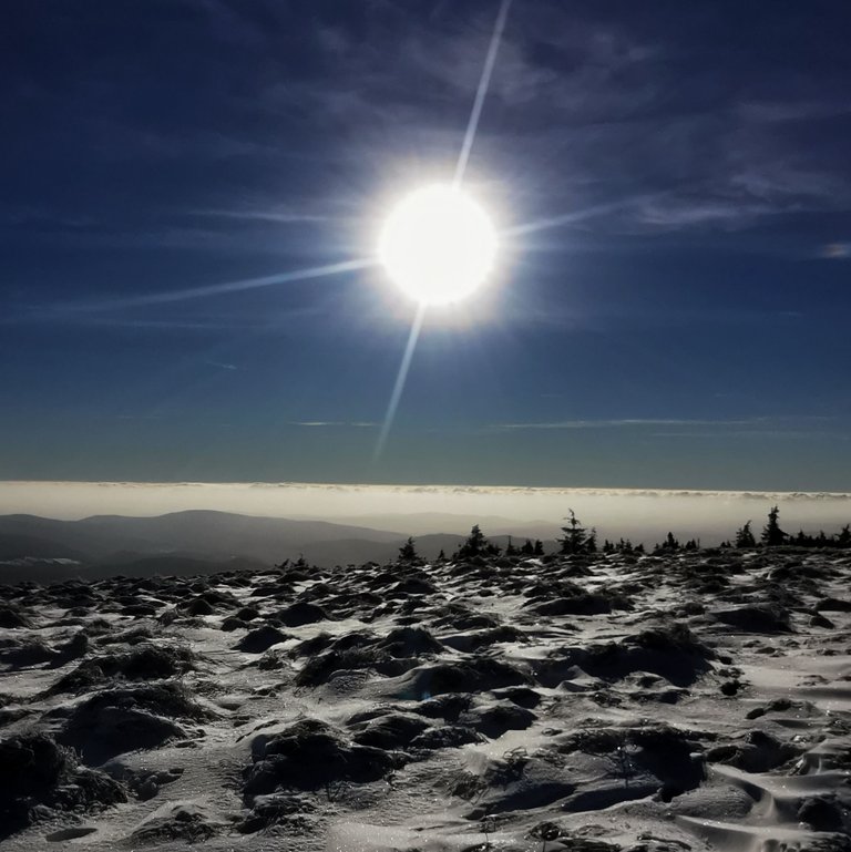
Dlouhé Stráně (1353m). The highest placed water reservoir of Czechia (and perhaps central Europe?).

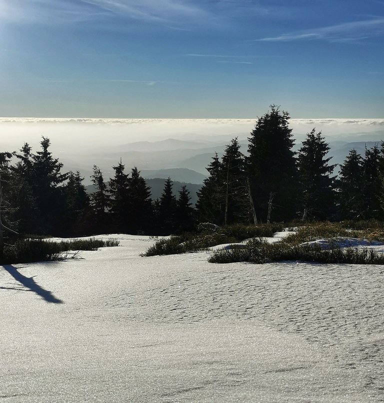
3 pm, need to hurry as sun is about to go down shortly.
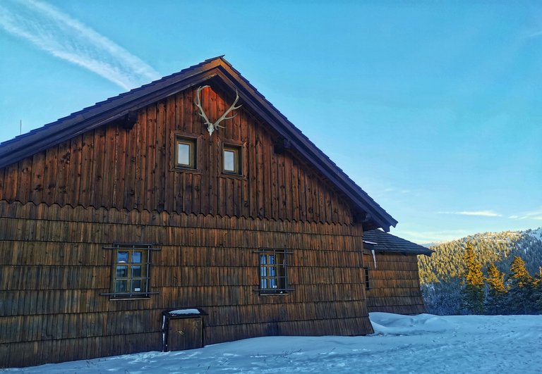
Stunning gamekeeper's lodge, Františkova myslivna (1180m), dated back to 1865.
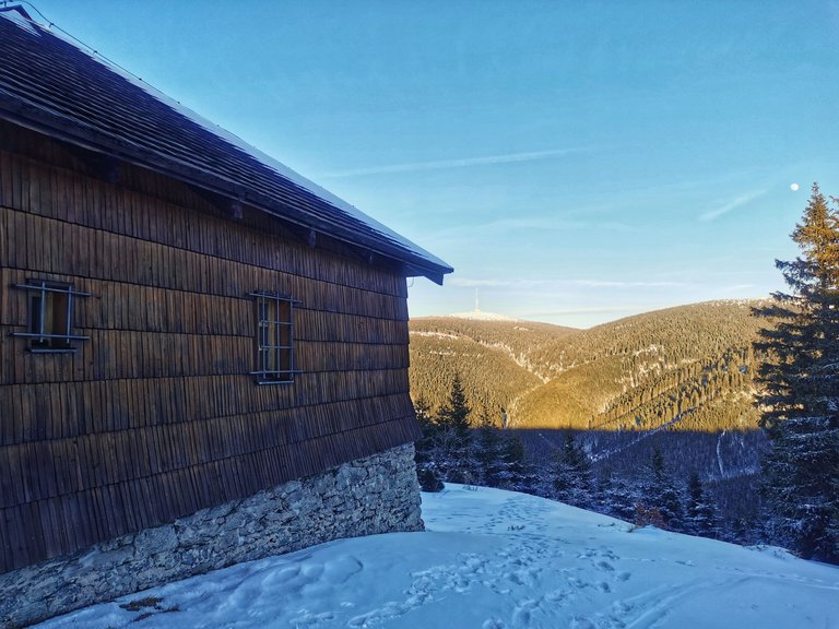
With Praděd and moon.
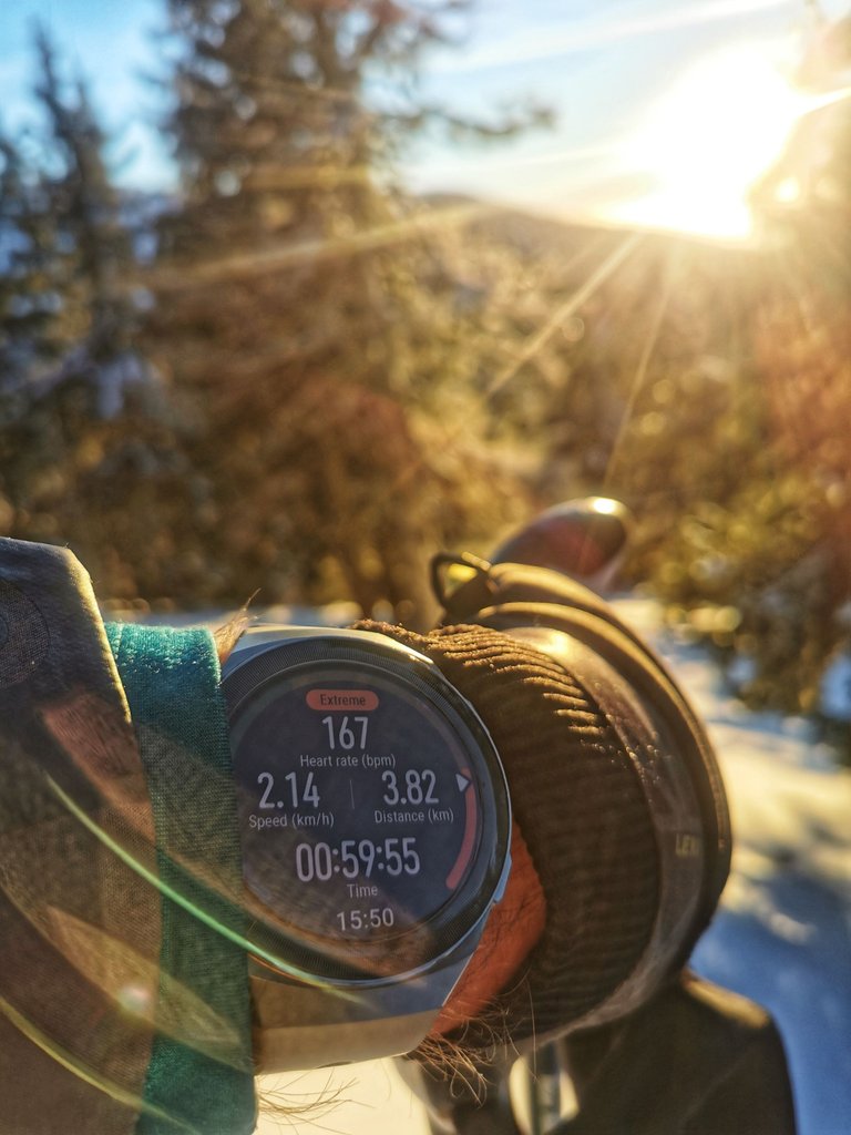
Rushing to the ridge as I want to see sunset! Now only 167 bpm, need to speed up😄
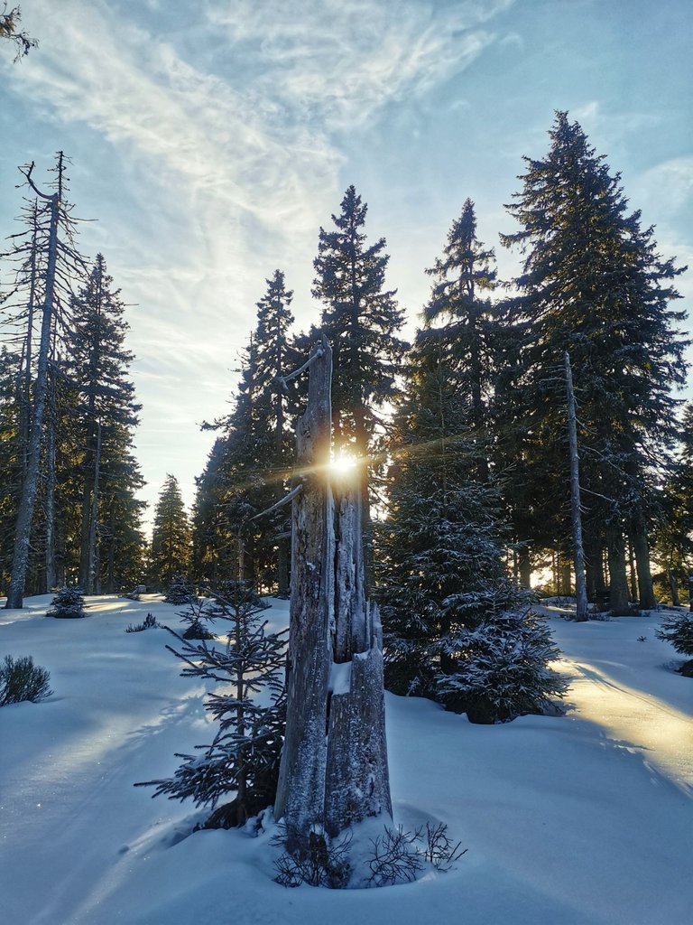
Sun almost down, crap.
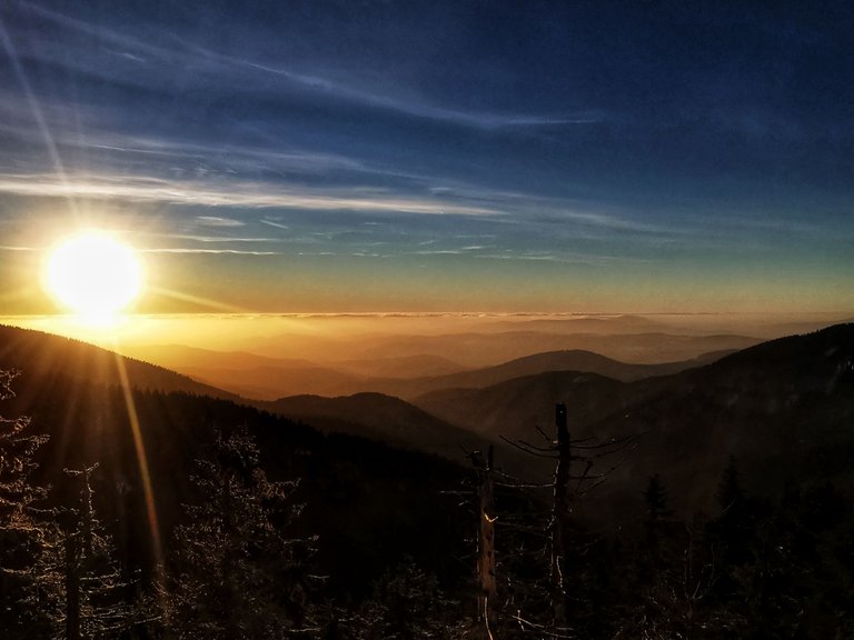
Still, it is something.
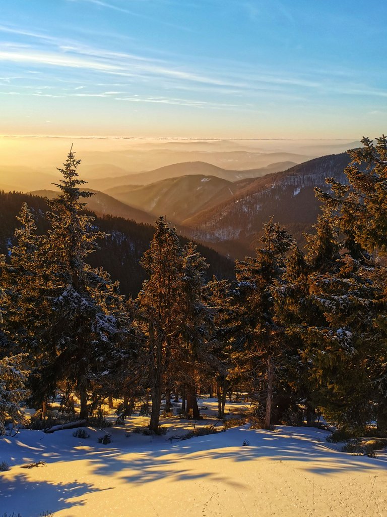
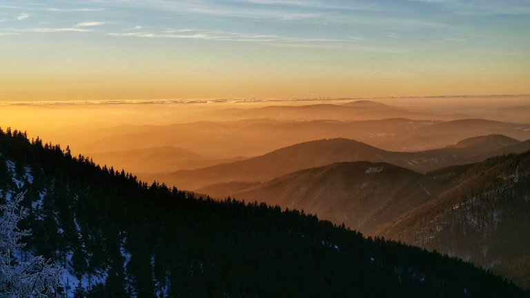
I am late. Sun just hid behind the cloudy horizon. Either way, incredible spectacle from the mountain Pecný (1330m).
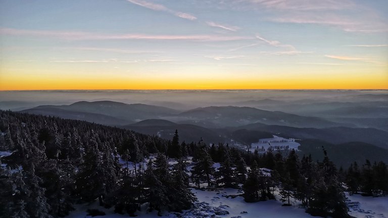
In the background - the Králický Sněžník massif (I hiked there in this post).
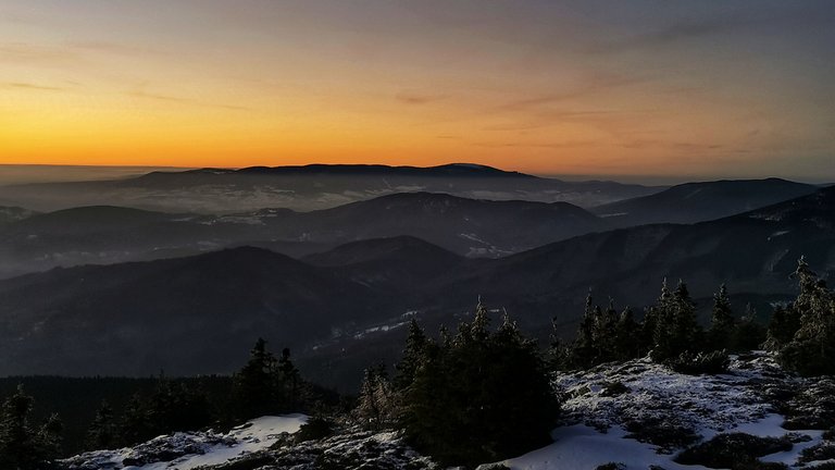
Praděd under the colorful blanket.
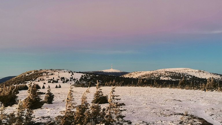
As planned, I am finally here at 5pm - Lost Stones (1250m). It is getting dark quickly. Will be fun to get back in one piece, still 5km to go.
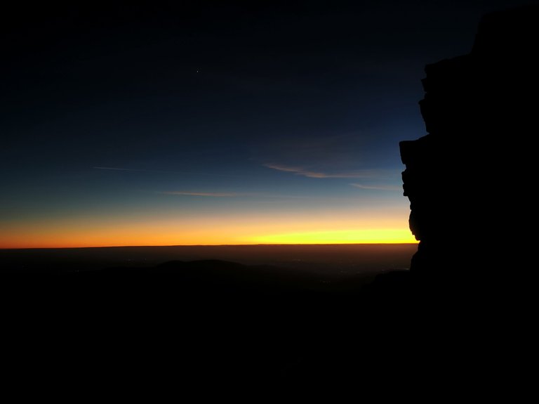
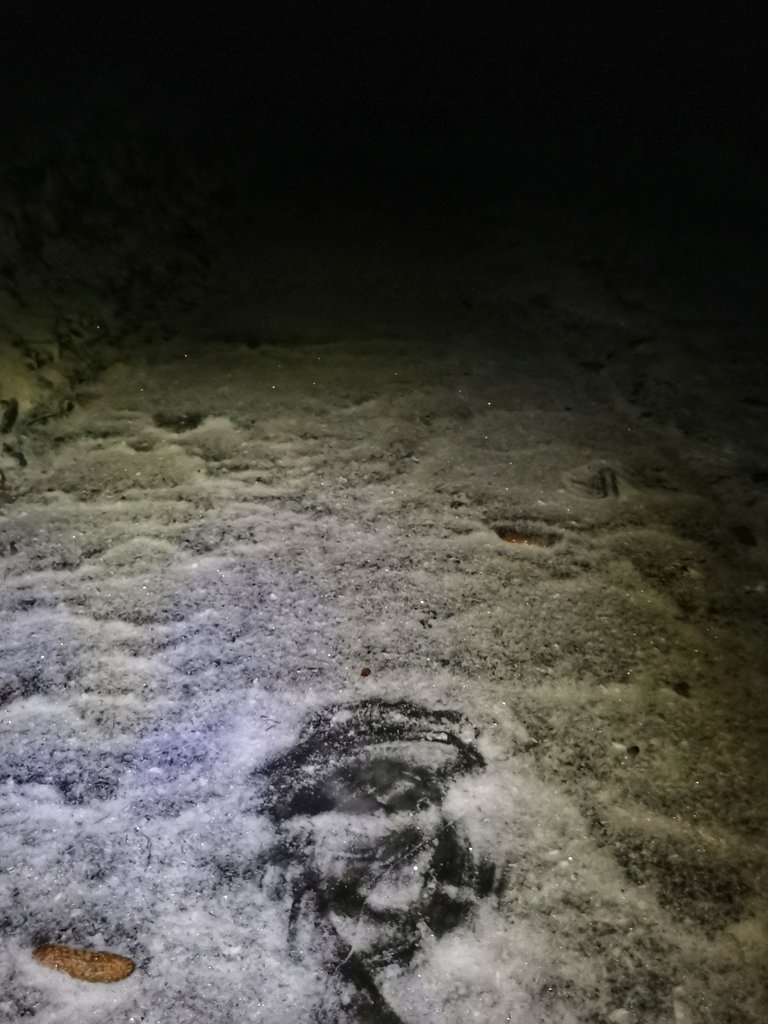
Almost 6 pm, I see s*it, need to put on headtorch. On the top of that, it is true adventure to walk on this slippery path covered by hidden ice😁
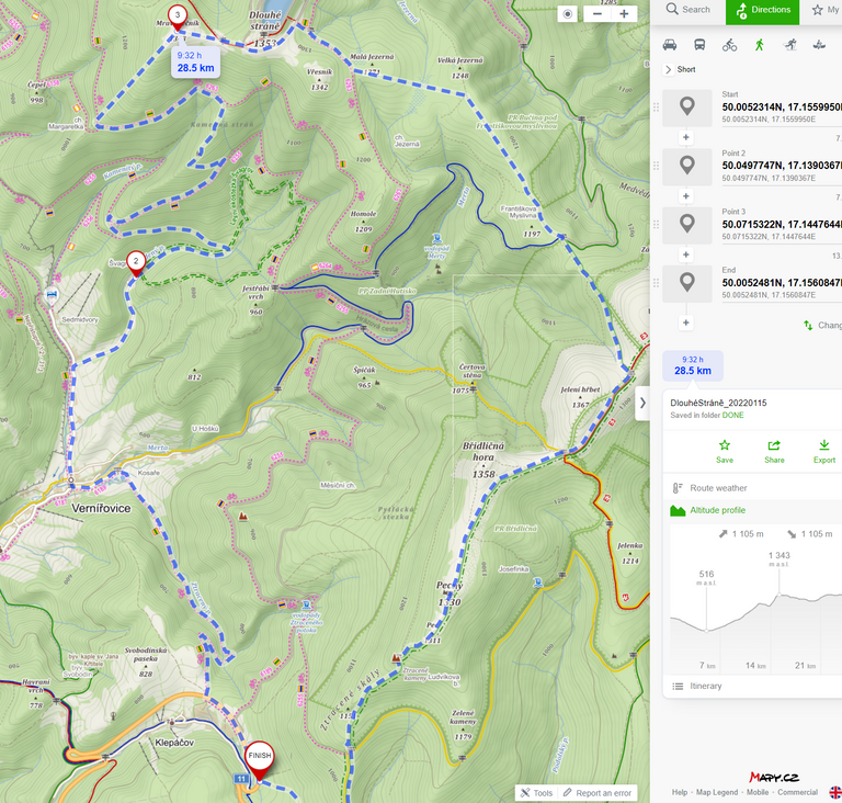
Eventually, I manage to get to the car unbroken. Here is rough itinerary of the day as maps do not support shortcuts (and will never do as I asked about it their support😄).
⥮1.1km, ~29km.
~41k steps. Burnt 26 eggs throughout the day, nice.
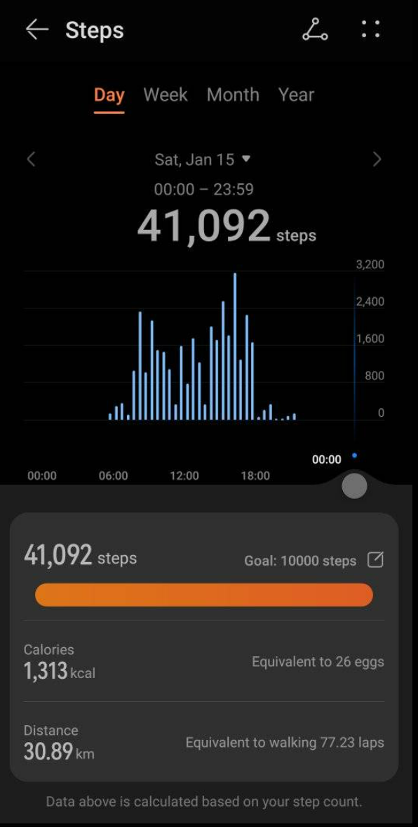
This was Saturday of January 15, 2022. Thank you for reading this post. If you like it, stay tuned as more cool stuff will definitely come. In the meantime, don't forget to check out my Pinmapple profile to see all places I have visited on the map! See you on the mountain path😉

31 kilometrů, 44 parádních fotek a 26 spálených vajíček, tomu říkám výkon :D Smekám a s radostí zařazuji do své sobotní rubriky. Dobrá práce kolego.
@tipu curate 2
Upvoted 👌 (Mana: 40/80) Liquid rewards.
😄 Byla sranda no, díky za podporu😉
Wow looks like an amazing hike, really like the frozen stream image. So many great ones here to thanks for sharing.
😲 Happy you like it😉
WOW! THis looks like an incredible hike and you got some super amazing shots on this trip! Really awesome post bro! Keep up the great work and thanks for sharing!
🙏 Thank you! Next hike-post is cooking😁
Ze zvědavosti, co to máš za chytrý hodinky? :)
:-) Díky za dotaz. No, nedávno jsem povýšil z Xiaomi Mi band 4 na Huawei GT2e.
Congratulations, your post has been added to Pinmapple! 🎉🥳🍍
Did you know you have your own profile map?
And every post has their own map too!
Want to have your post on the map too?
Chlape zatracená. Jak to, že tyhle úžasné záběry nejsou přihlášené do #aroundtheworld?
Asi bych nevěděl, jakou vybrat? 😂
Púsobivé jsou ty "kameny" i zamrzlý potok :-)
Dodatečně
!LUV za použití #aroundtheworld :-)
@bucipuci(2/5) gave you LUV. H-E tools | connect | <><
😯 díky 😉
:-)